Driving RAGBRAI XLIII: Day 3
My goals for Day 3 of driving the RAGBRAI route are 1) to finish the drive, 2) to take better notes along the way, and 3) to find more to photograph than just welcome signs and old buildings. I want to find little kids with a lemonade stand or a farmer’s produce market.
My friend Jim, with whom I’m driving the Des Moines Register’s Annual Great Bicycle Ride Across Iowa, thinks I’m romanticizing rural Iowa. And maybe he’s right. What we’ve found so far on the first two days of the route is that many of the smallest pass-through towns are barely hanging on. They may have a business or two, but those businesses have not been open when we’ve been in town. If shops and restaurants don’t keep regular business hours, how can they survive? We’ve seen very few grocery stores and restaurants, few schools, and not even that many churches in some of these towns. My hope for them is that they can somehow survive, despite the decline in population, despite big ag taking over their family farms, despite businesses being shuttered. This sounds sort of depressing, but that’s my mindset as we start Day 3 of our drive. So here we go: Hiawatha to Davenport.
It’s a beautiful day: unseasonably cool, with fog in the low-lying areas, and the sun just starting to come out as I leave Ames at 6 a.m.
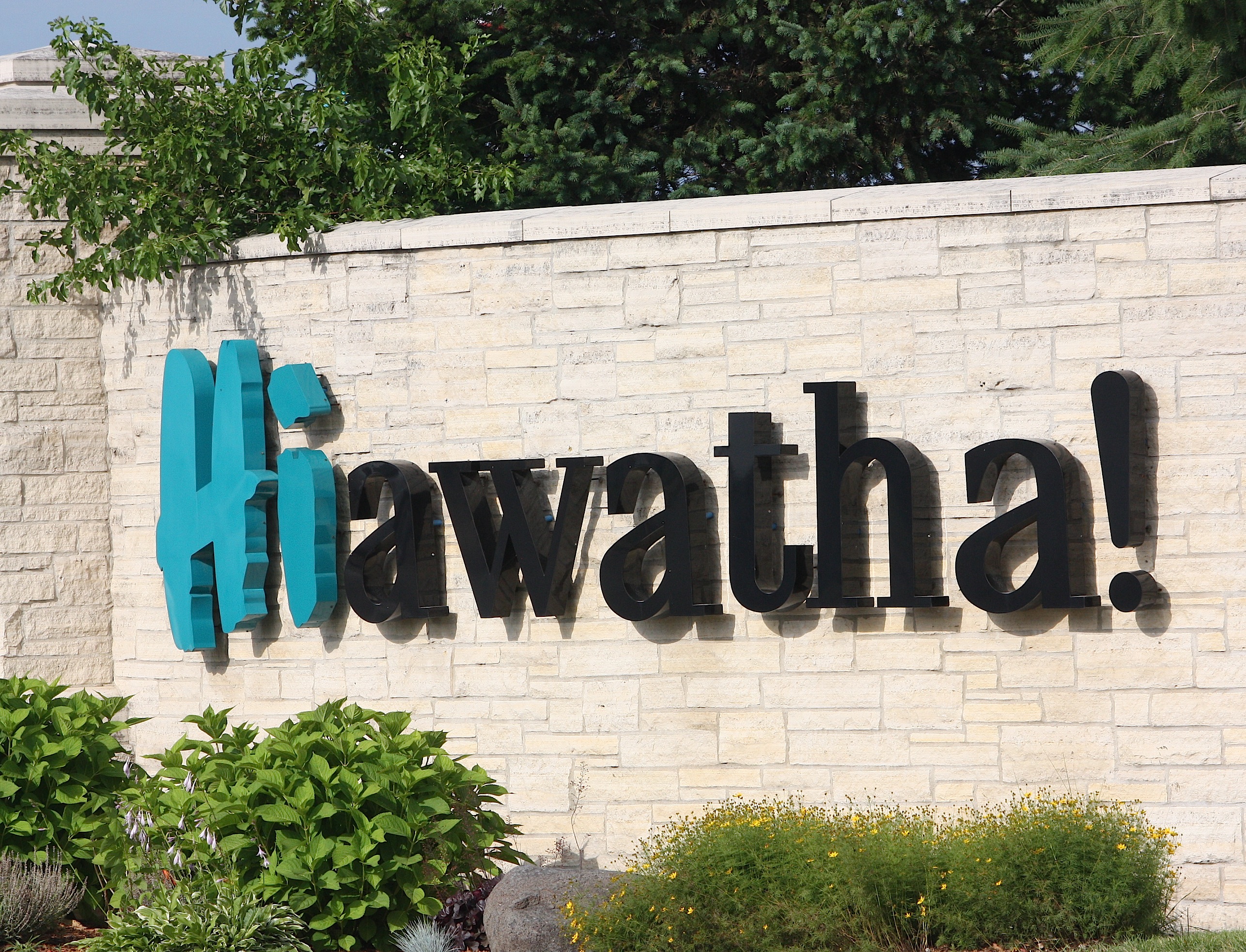
I meet Jim in Ankeny and we head for the start of the bikers’ Day 6 route: Hiawatha (overnight town theme: “Throwback Thursday.”) It’s nearly 8:30 when we get there. I visit Hiawatha at least once a year because I do business with Cedar Graphics, a local printer. So I know the welcome sign is a cute one: “HIawatha!” it says cheerfully. We take Boyson Road to Guthridge Park, a huge green space where cyclists will camp for the night. Hiawatha (population 7,024) is a relatively small suburb of Cedar Rapids. We don’t find much there besides homes, chain stores, and light industry.
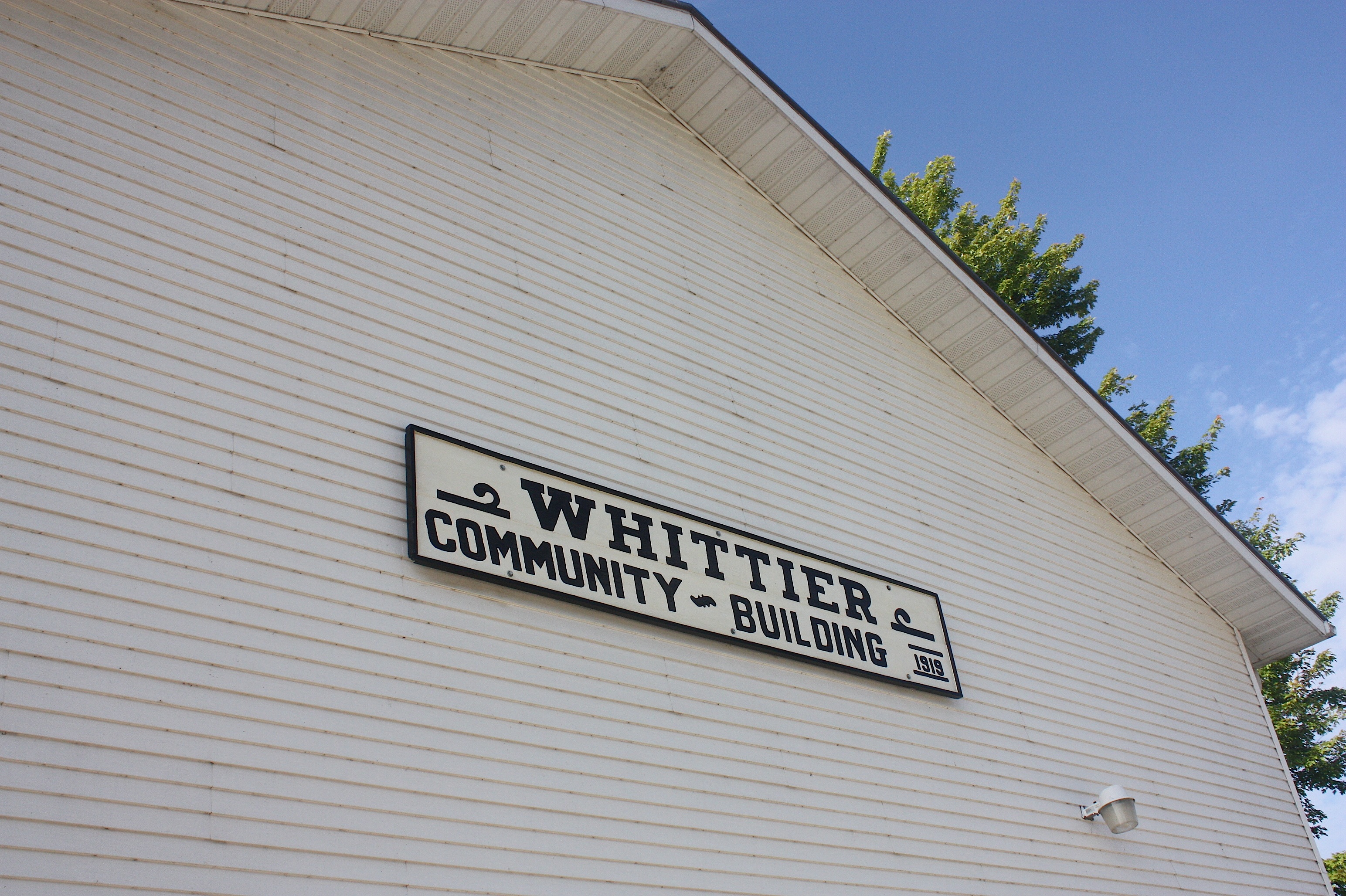

By 8:53 we’re on our way to unincorporated Whittier. The Whittier Market is OPEN, and we’re excited about that because we’re hungry. The sign outside suggests there will be home-baked breads and pastries, so we hurry inside. We find fruit-filled kolaches – a Czech specialty I’ve encountered before in Cedar Rapids – and we choose cherry and peach. The unfriendly woman behind the counter doesn’t seem inclined to let me take pictures inside the shop; in fact, she doesn’t seem inclined to do much of anything. We pay and leave.
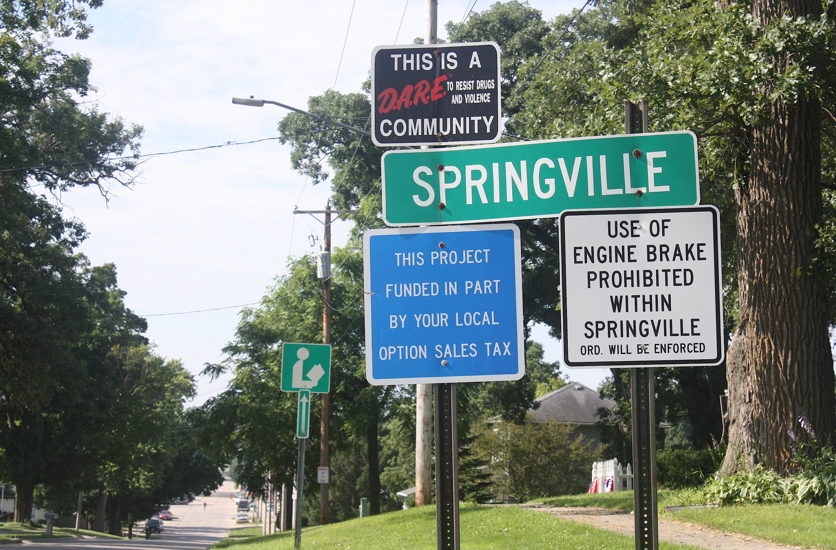
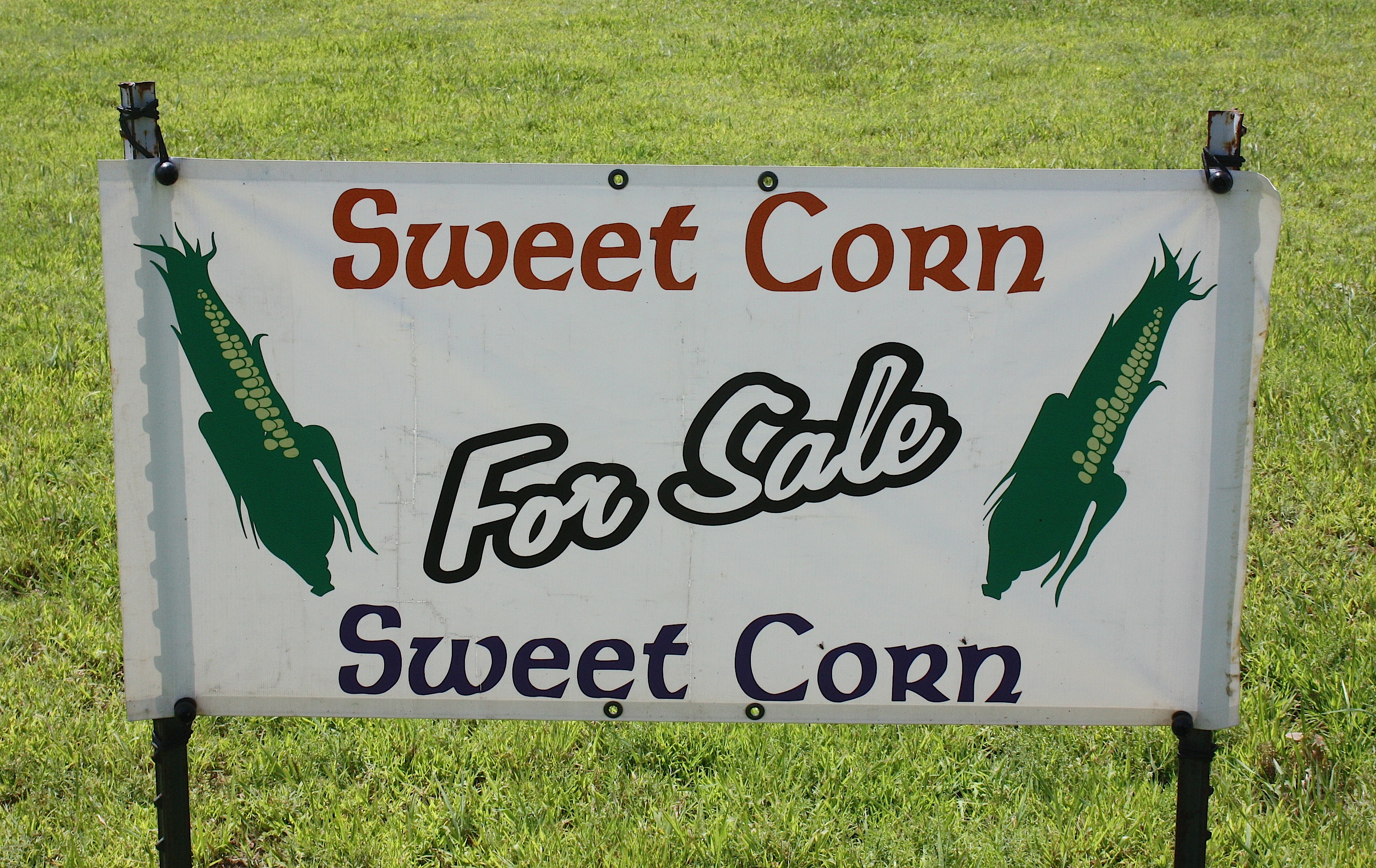
County Road X20 takes us to our next stop: Springville (population 1,074). We chuckle as we drive down the main street, with its American flags and welcome banners juxtaposed against the largest, most colorful NO PARKING sign I’ve ever seen, painted on the side of one of the town’s historic buildings. Well, OK then.
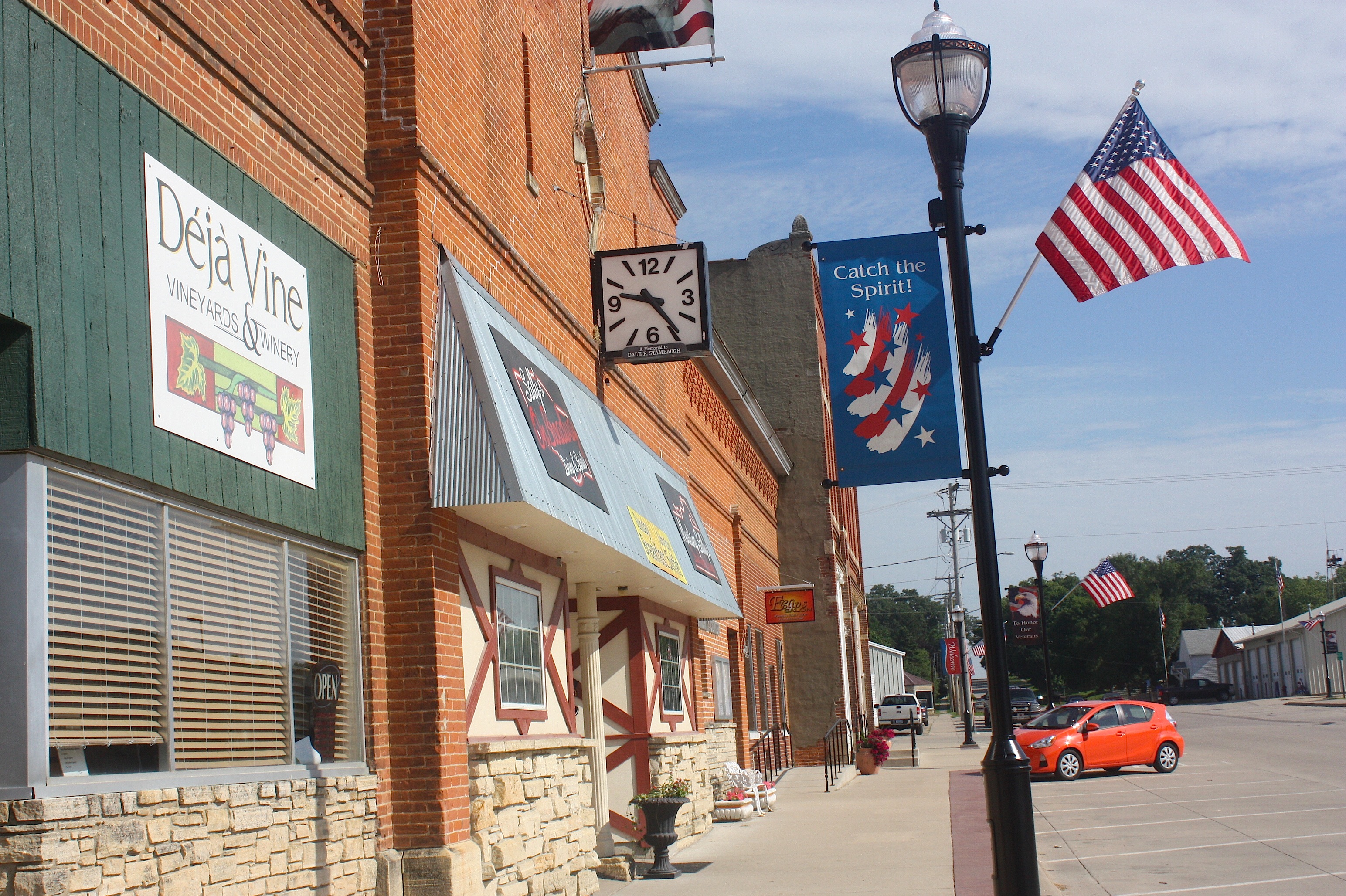
Springville actually has several businesses along the main street: an opera house, the Springville Inn, Deja Vine winery, Mustang Sally’s, and the Springville Station/Woody’s One-Stop. It’s just 9:30 a.m., so nothing is open.
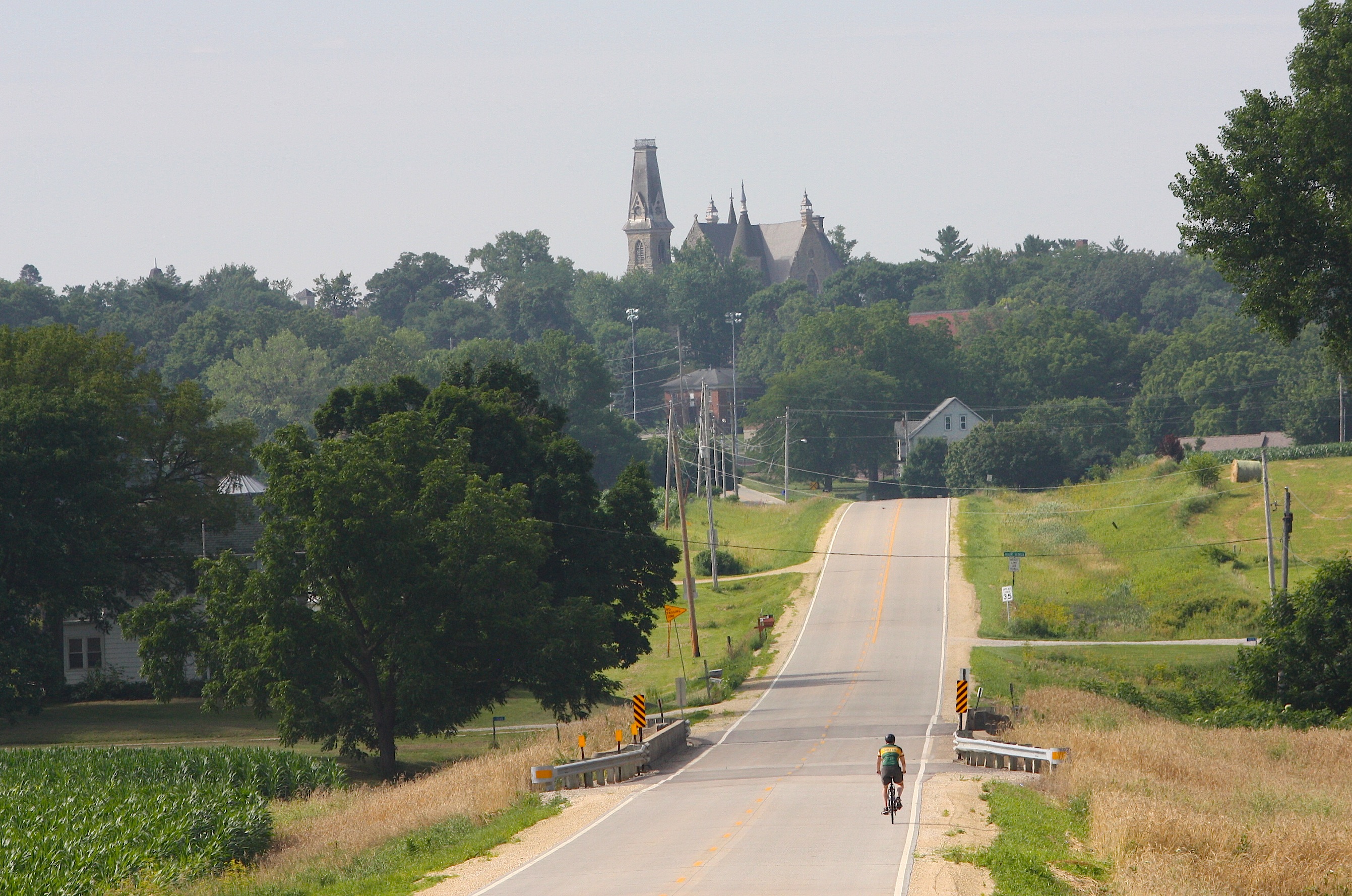
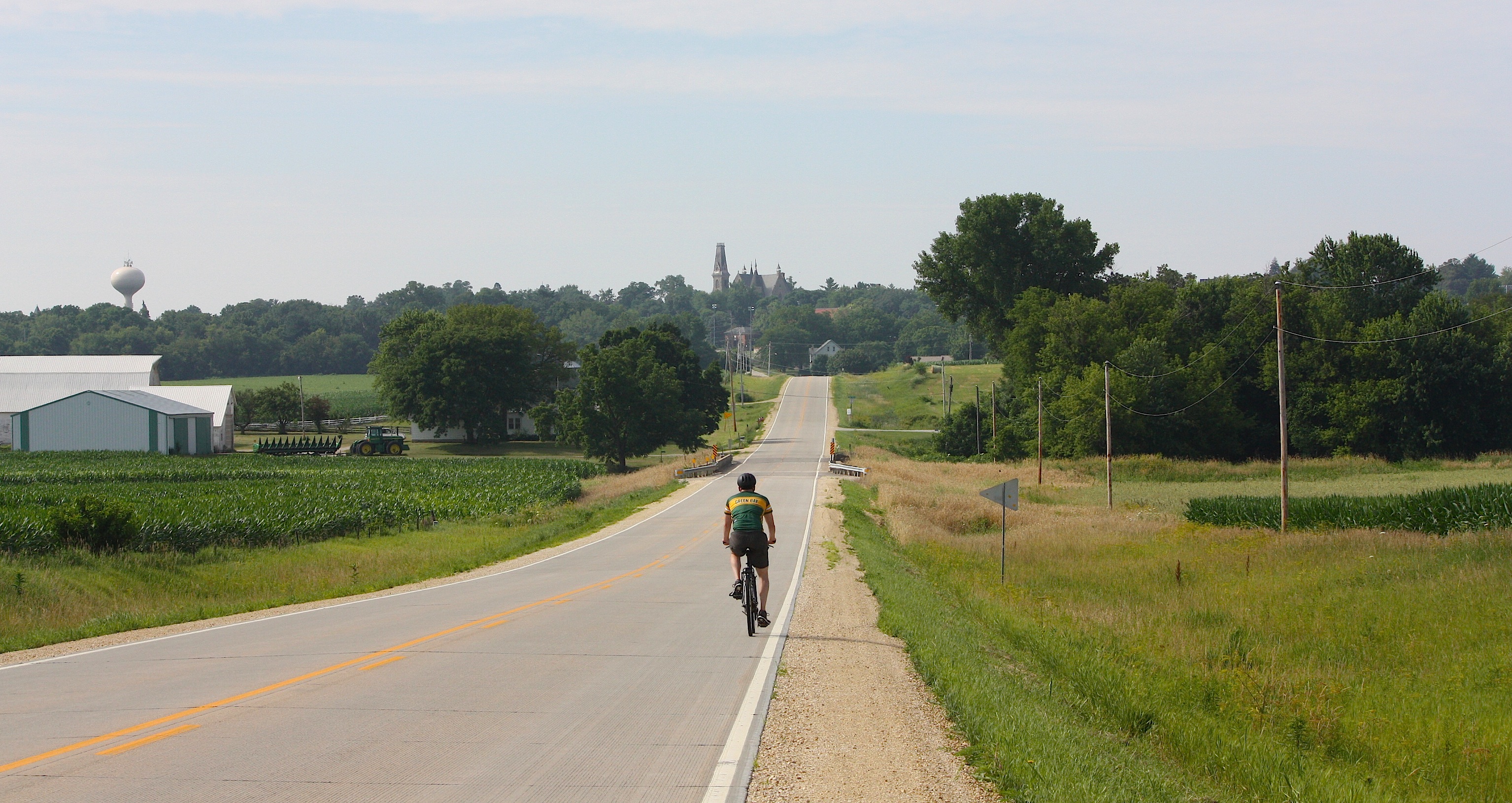
We take the gently rolling farmland out of Springville. There’s a pretty approach to our next stop: Mt. Vernon, and while we’re enjoying the view, a bicyclist rides by.
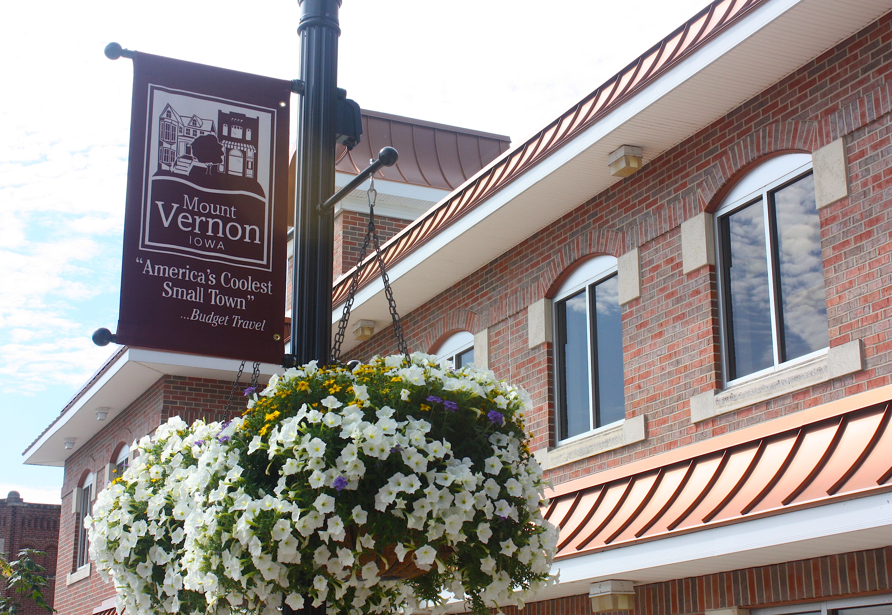
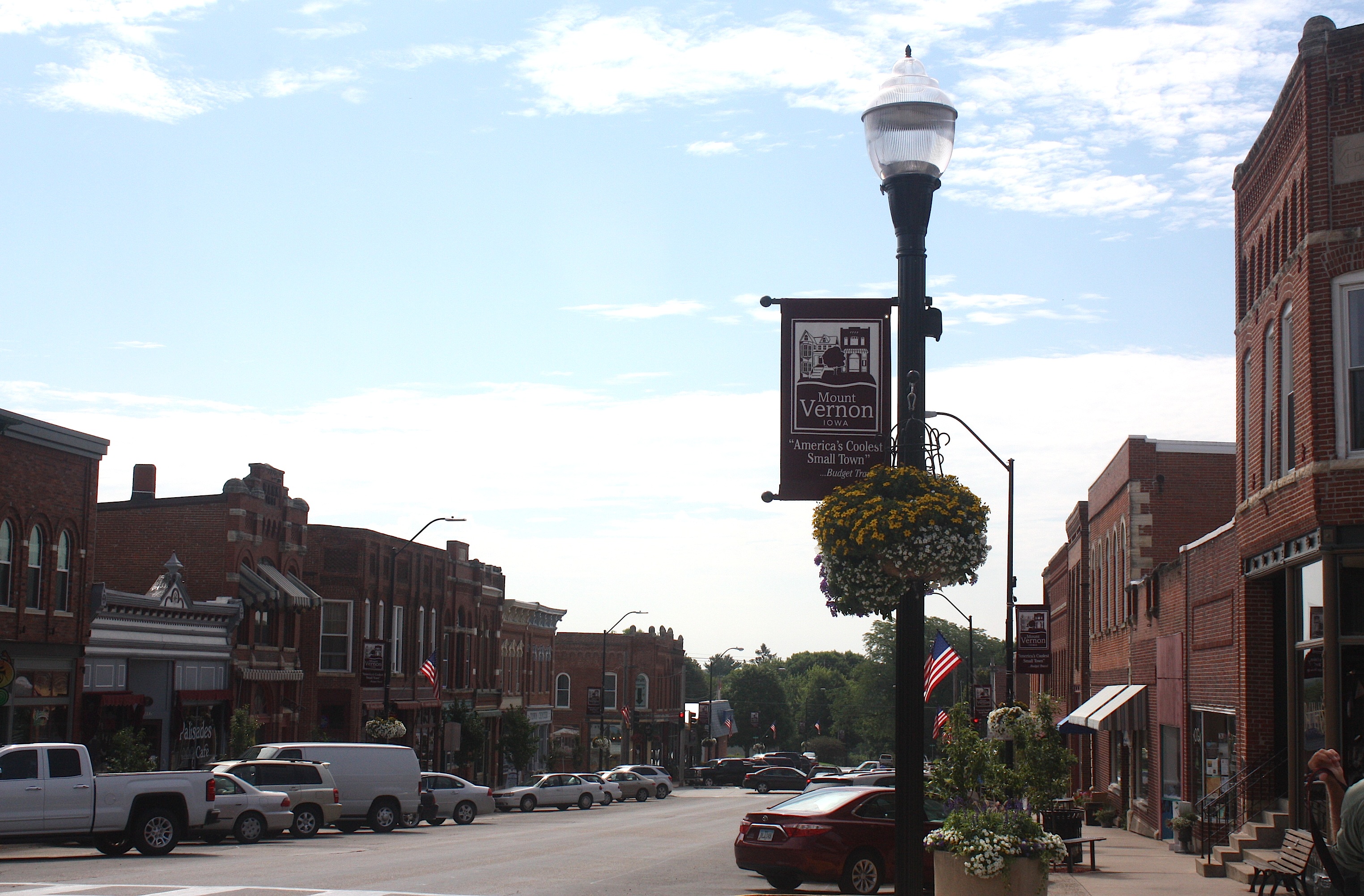
Mt. Vernon (population 4,506) boasts that it’s “America’s Coolest Small Town” as cited by Budget Travel. And I agree. Mt. Vernon is a small town in which I could comfortably and happily live. It’s close to Cedar Rapids, close to Iowa City, but it’s no suburb. Mt. Vernon is home to the charming and historic Cornell College, and it has some of the prettiest houses and liveliest little shops and restaurants that you could ever want to visit.


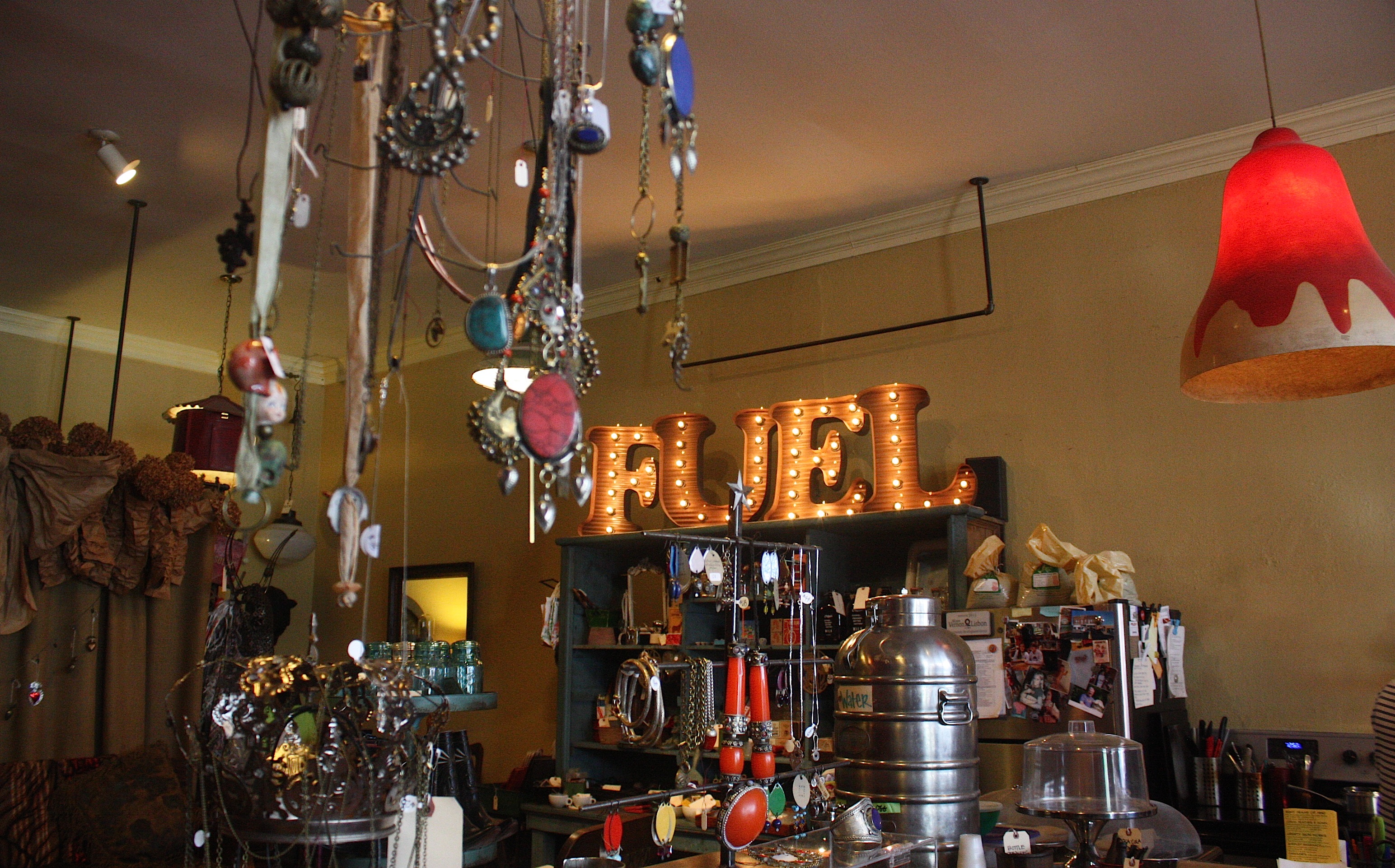
I’ve visited this town several times; in fact, I posted a blog about it in 2011. I loved the old Lincoln Café, and I was eager to try out its replacement, Palisades Café. But it wasn’t open for lunch yet. So we wandered through downtown, with its shops, antiques stores, services and restaurants. Still hungry after the kolaches, we stepped into Fuel, a shop that advertises “espresso and mom’s baked goods from scratch.” It was all that and more: an adorable coffee shop with antiques, vintage finds, and funky jewelry for sale. The two women behind the counter were friendly and welcoming; they offered to warm up Jim’s cheddar scone for him (he said it was delicious).
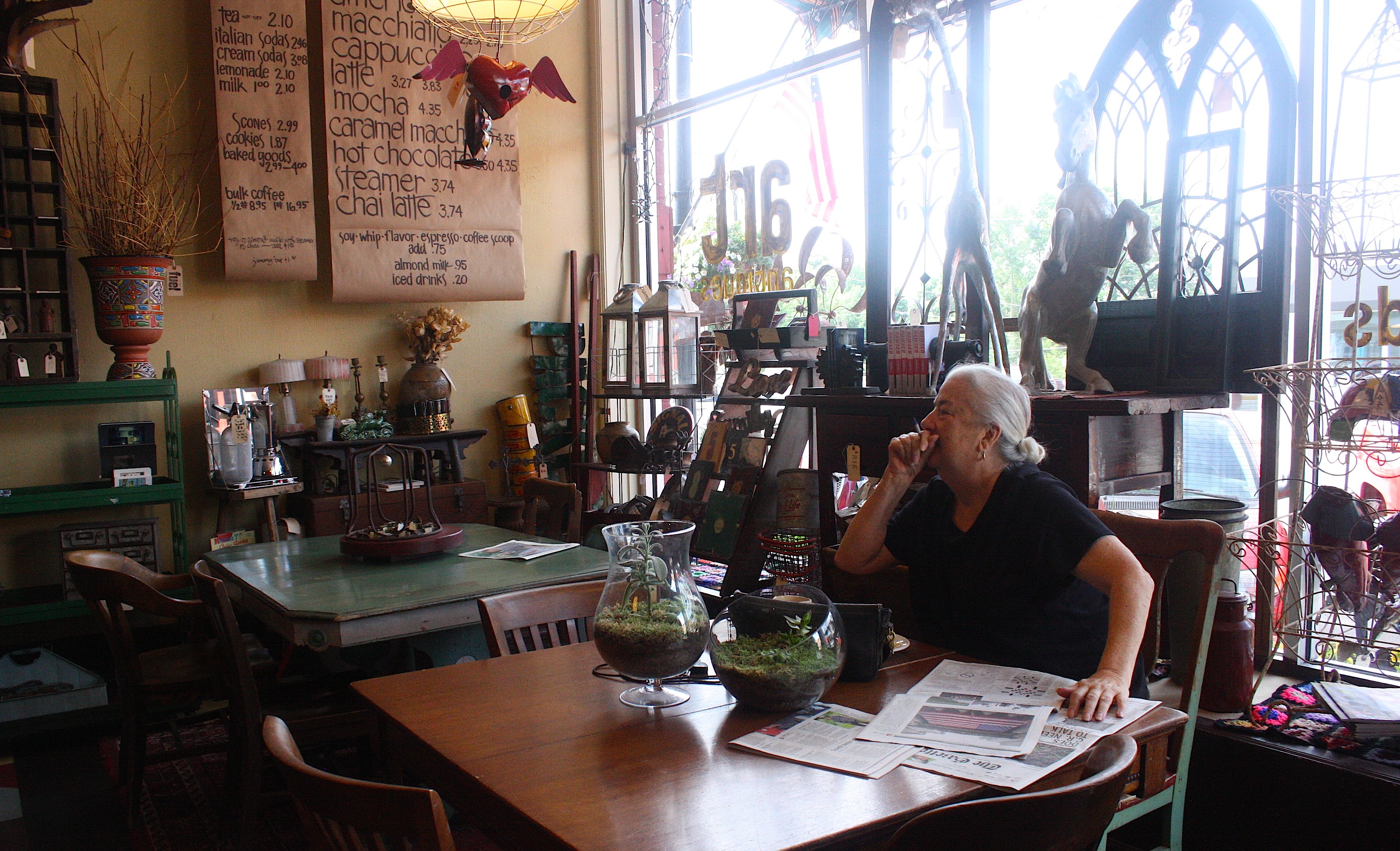
We talked to a local customer (above) who was reading the paper and enjoying her morning coffee and pastry. She said she had to go out of town the day the RAGBRAI bikes come through Mt. Vernon, so she had already planned her getaway.
“I’m packing the car the night before,” she said. “I’ll park it on the south side of town. The next morning I’ll walk to the car and be able to drive without going through the RAGBRAI route.” She seemed a little wistful that she would be missing all the fun.
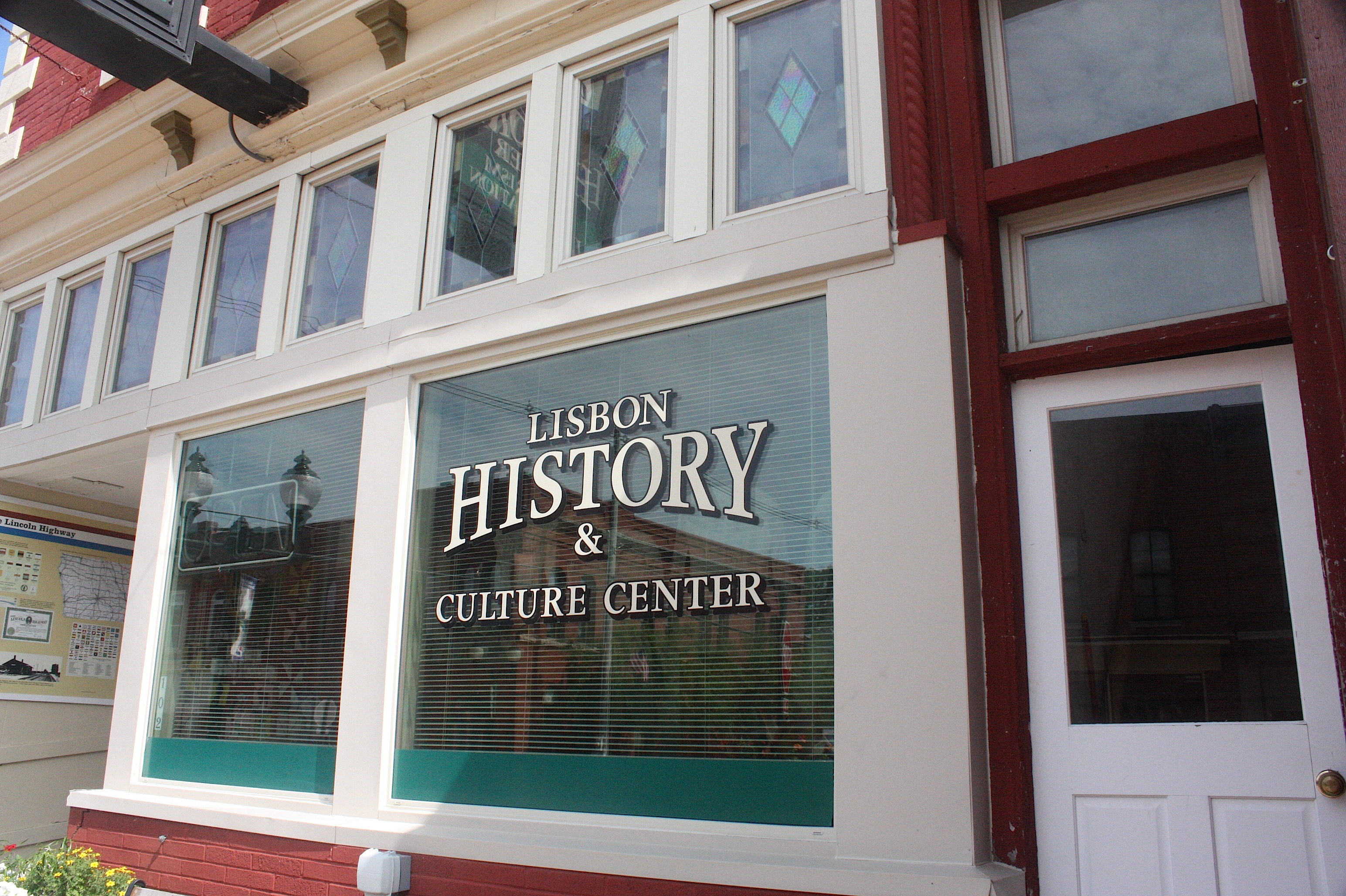
Mt. Vernon’s sister city, Lisbon (population 2,152) is just a minute’s drive. The two communities have joined forces to promote community events and festivals throughout the year – they’re the smartest duo in the state. Though Lisbon doesn’t have the commercial or college punch of Mt. Vernon, it’s a pretty town with lots of community pride. To wit: We drove past a home whose yard was pronounced the “Yard of the Month.”
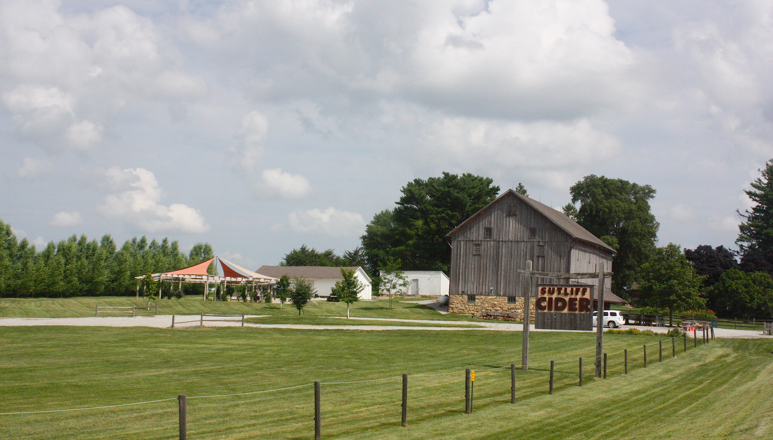
Continuing on X-20 we pass Sutliff Cider, a cider mill with hard cider produced year-round, and on to the Sutliff Bridge. The historic trestle bridge was built back in 1898 and spans the Cedar River. By 1979 the bridge was believed to be dangerous and was replaced by the Cilek Bridge for vehicular traffic. Upon the bridge’s retirement in 1983 it was one of only a few Parker trusses remaining in Iowa.


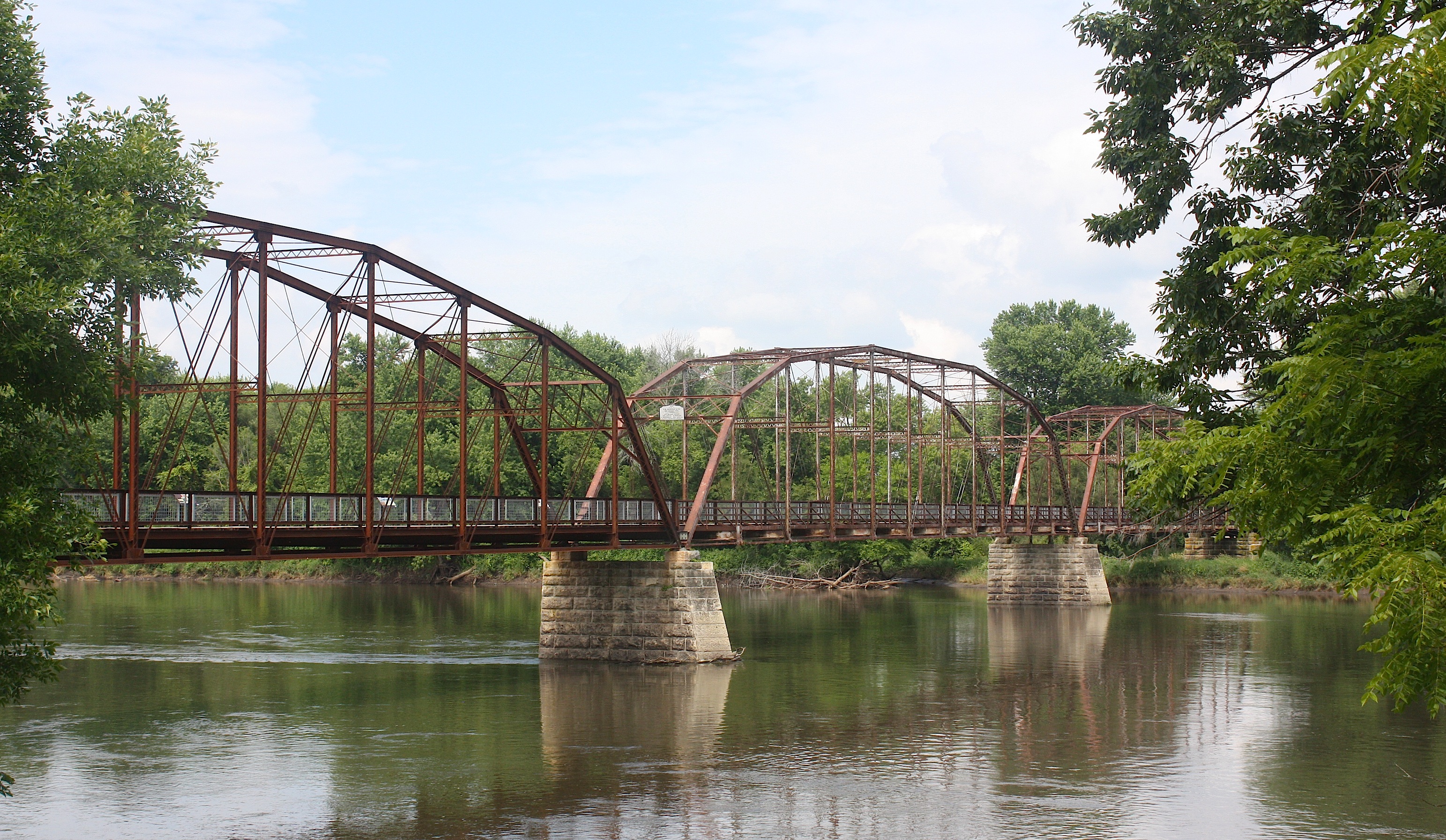
Unfortunately, the bridge was badly damaged by the flood of 2008. It’s since been repaired, thanks to the efforts of a lot of different organizations working together, and I think it’s a real beauty. You can walk or bike across the bridge and learn more about its history on historical markers that also include photographs of the flood.

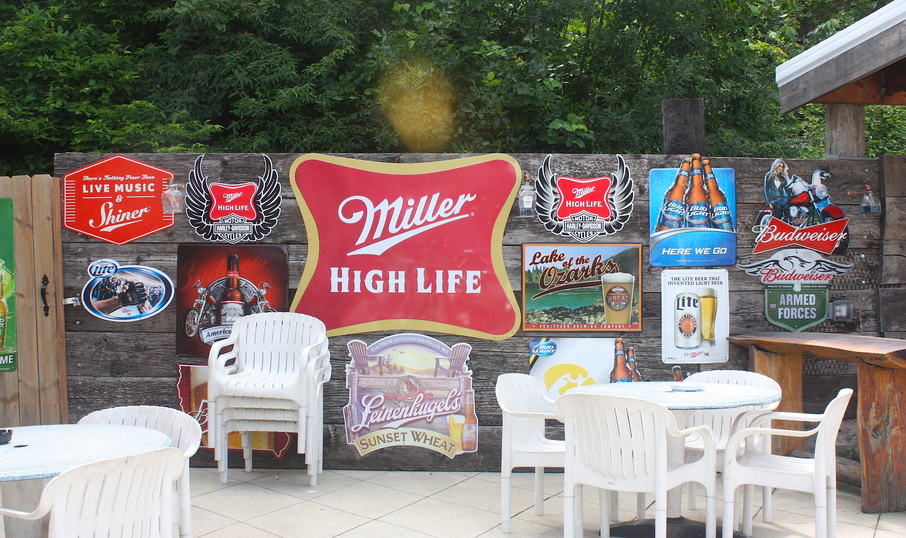
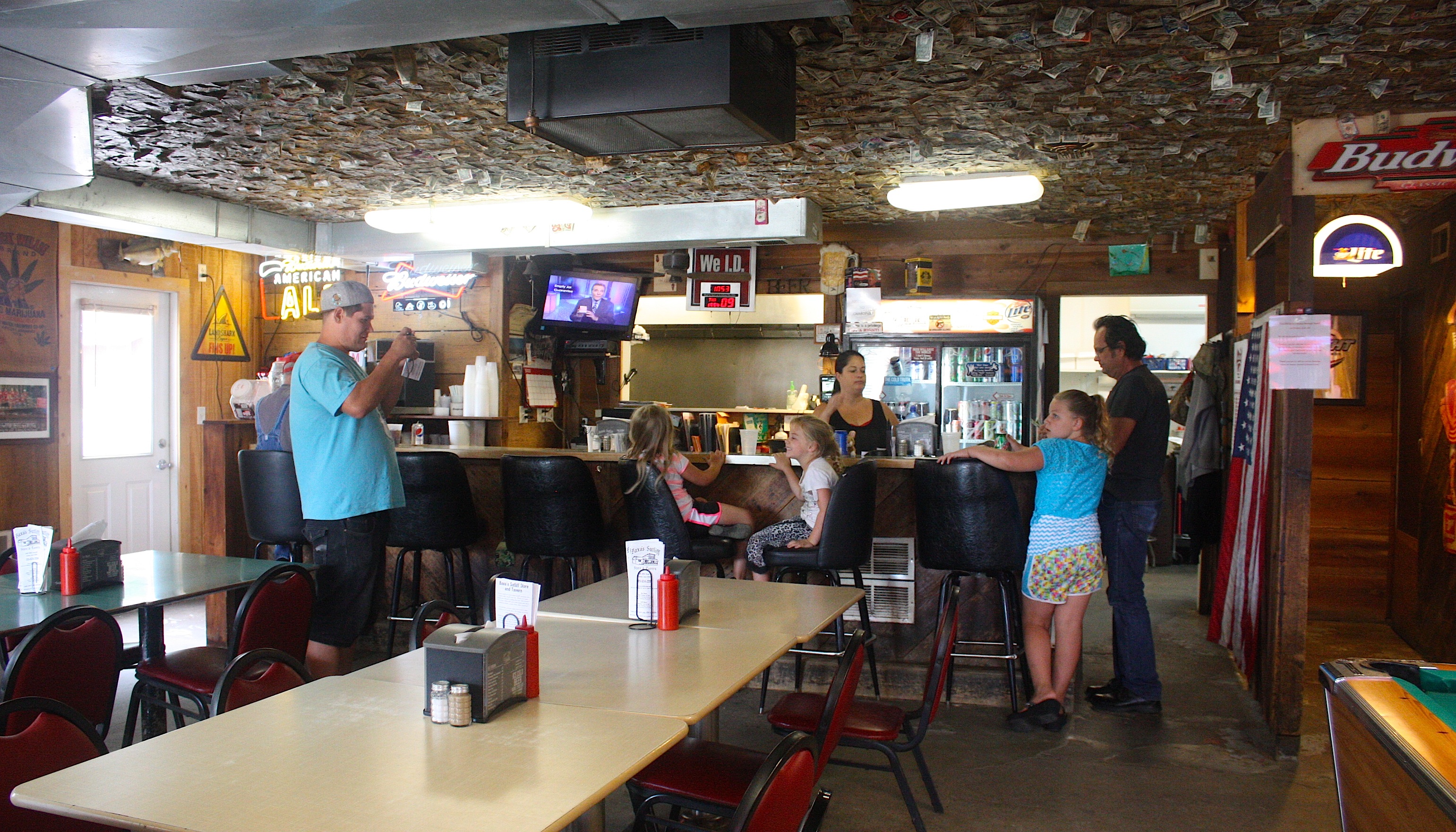
Adjacent to the bridge is another great reason to get out of your car (or off your bicycle): Baxa’s Sutliff Store and Tavern. This is a huge, awesome place with three spacious rooms for eating/drinking, plus a spacious patio for more of the same. There’s a long porch with theatre-style seats, loud country music playing, beer, food, and a view of the river. This would be an awesome evening destination during the summer or fall.


It was tempting to stay longer, but we had to move on. Our next stop was Solon, a cute little town with a bandshell, restaurants, and a brewery.
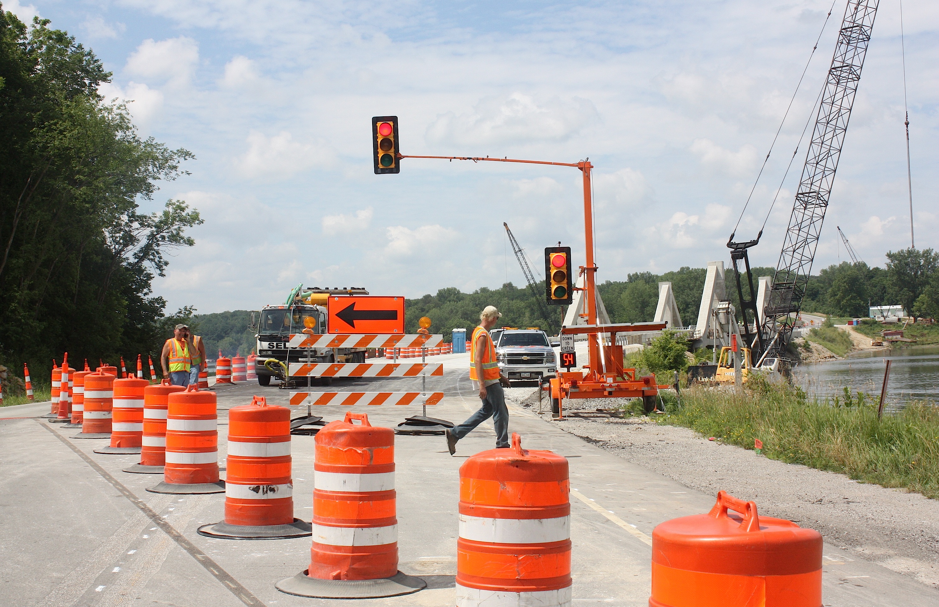
At this point in the day’s drive, we get lost. We may or may not be on the right road. We drive through Sugar Bottom, a popular bike route that’s well marked with green signs. We encounter construction. We cross the Coralville bridge, which is down to one lane. We pass by Lake McBride State Park, a very pretty place that would be a nice place to stop and hike or have a picnic. We end up in North Liberty, which definitely means we’re lost, because North Liberty is not on the RAGBRAI route.
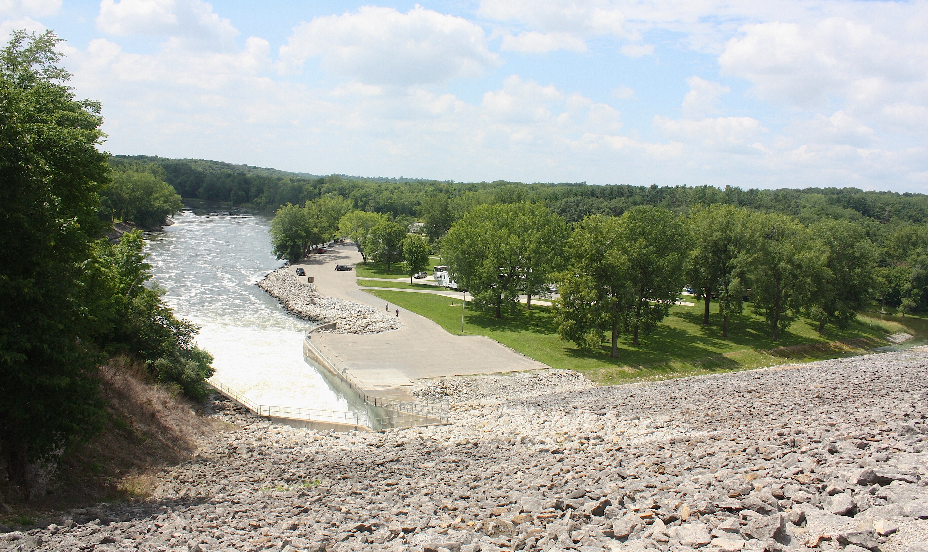
We backtrack. We drive by a fossil gorge, campgrounds, and other recreational areas. We drive over the Coralville Lake Dam (above). We end up in Iowa City, which is also wrong. The Register’s easy-to-follow route map is not exactly cutting it today, and we’ve left the detailed map back in Ankeny.

It takes a long time, and we’re never exactly sure where the bikes enter Coralville’s Iowa River Landing. And we have no idea where the cyclists are going to camp, because this place is nothing but concrete as far as the eye can see. But we’re here. So we explore.
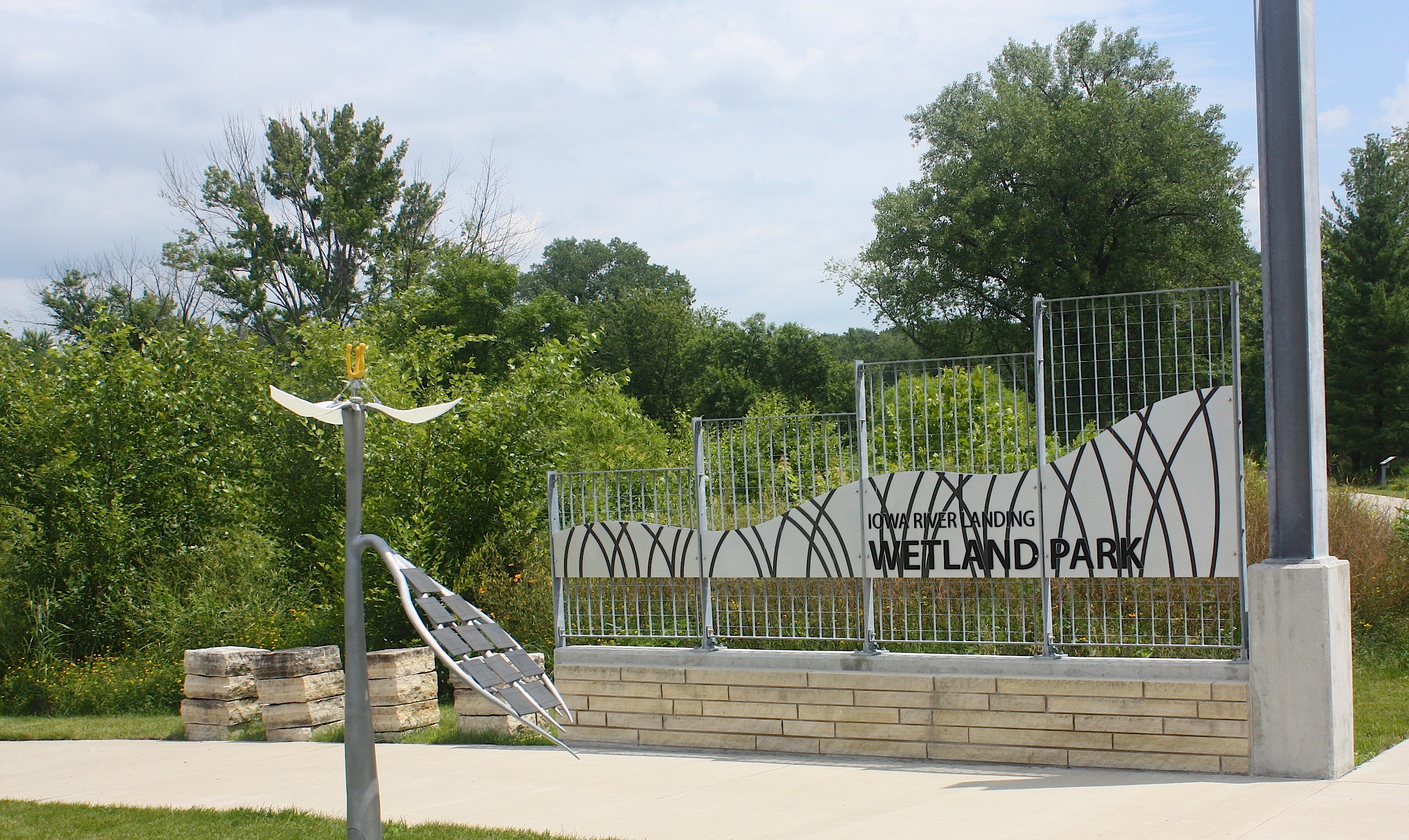
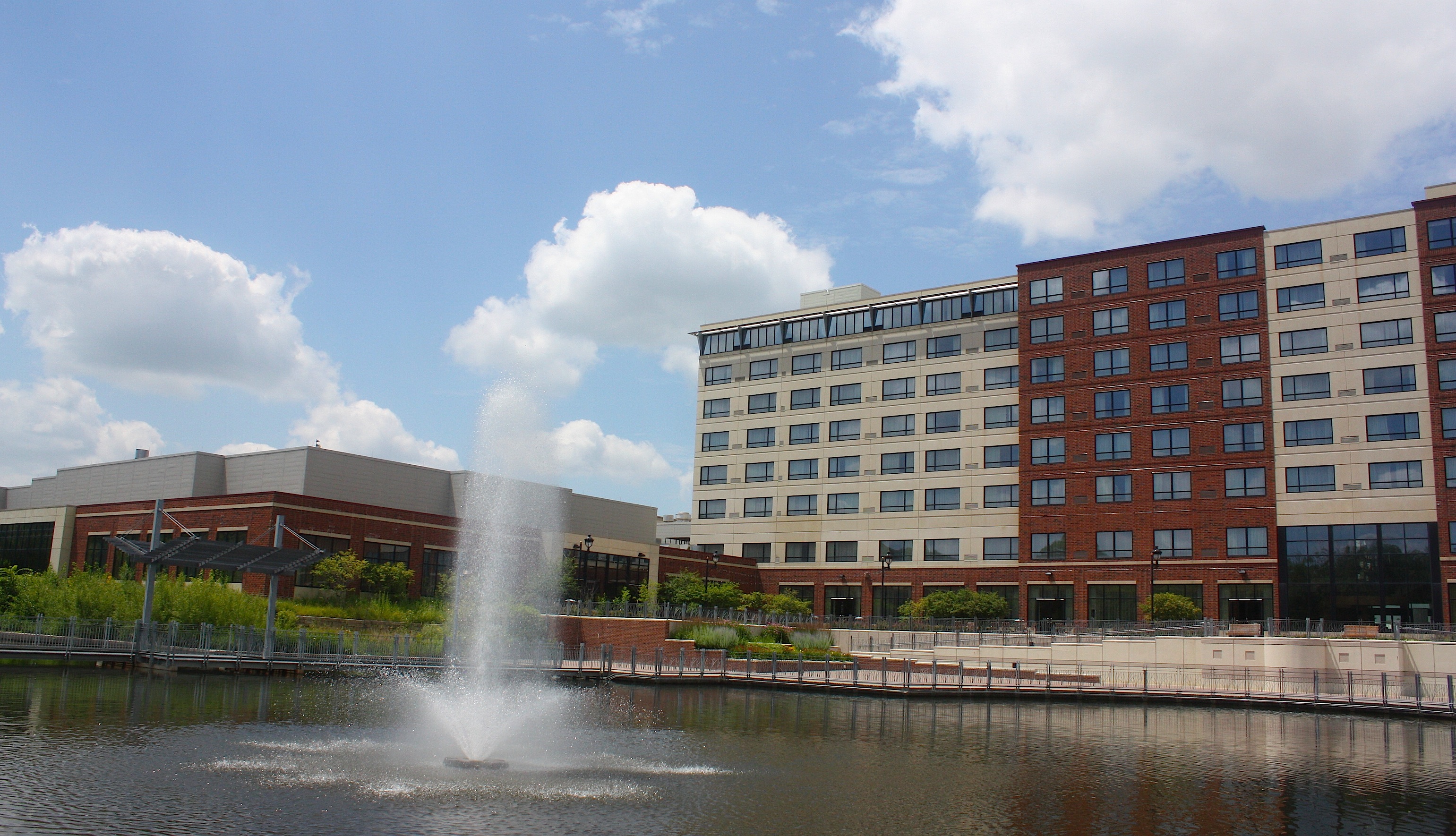
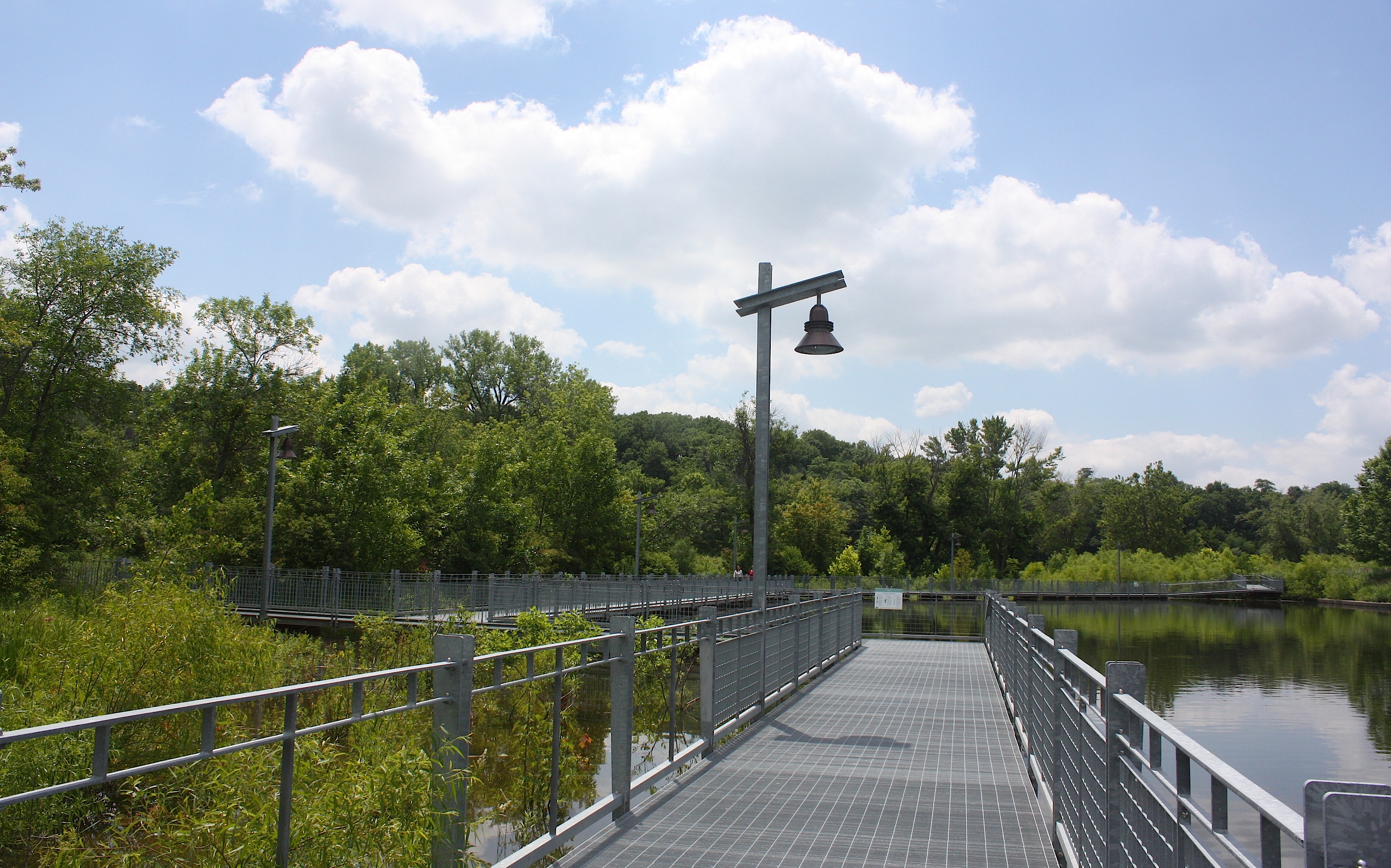

Iowa River Landing is mostly a giant Marriott Hotel and conference center. There are some shops, restaurants, and brewpubs. It looks newly developed and very suburban. We walk a wetlands trail, which is nice but sort of weird because of its location, and spot a few sculptures along the sculpture walk. We still can’t figure out where people are going to camp, and we’re not sure how they will travel from Coralville to Iowa City, which is basically one big sprawling city.
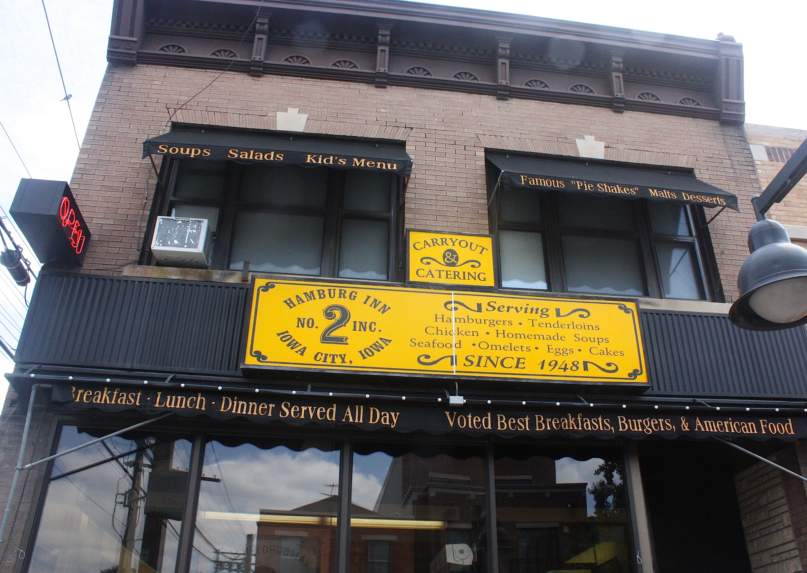
But now here we are in Iowa City, with its bustling downtown, University of Iowa campus, cyclists, pedestrians, and gangs of small children all dressed alike. There’s so much to do here, but so little time. But we’re hungry, so we stop at one of the Register’s suggested stops: the Hamburg Inn No. 2.
This a diners & dives kind of place that serves breakfast all day long and is famous for its pie shakes. I order a grilled cheese sandwich, fries, and coleslaw. Jim and I split a piece of lemon meringue pie for dessert.

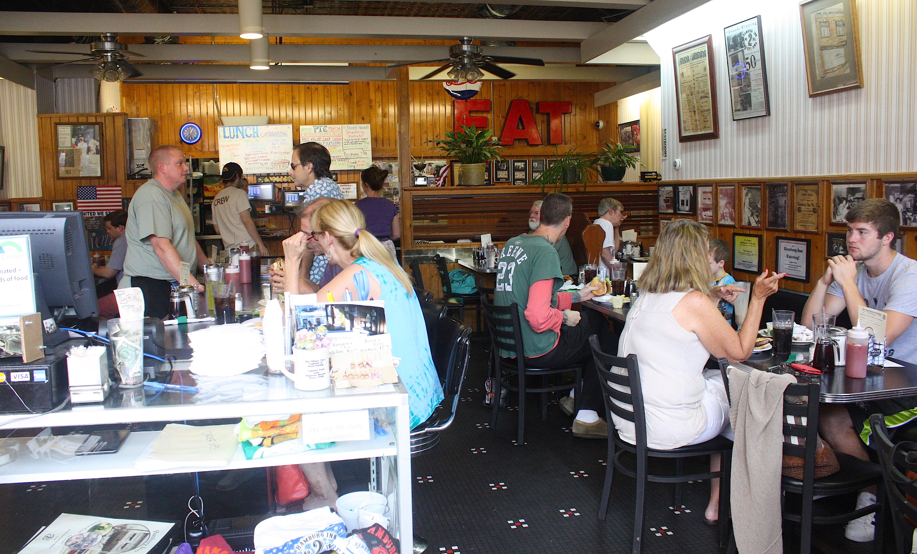
The food is okay, not great, but the atmosphere is fun and they’re playing Pink Floyd the whole time we’re here. We also spot Register RAGBRAI reporter Kyle Munson at the next booth, conducting an interview. It’s after 1:30, and we have a whole day of the route left to drive. So we bid farewell to Iowa City and attempt to find County Road W66, which is the way the bikes are leaving town. But we never find it and decide to cheat by taking State Hwy. 6 to West Liberty. Where is our detailed map when we need it???


We arrive in West Liberty (population 3,736), a multicultural community with a decent-sized downtown. We stop in a Hispanic bakery because it smells so good, even though we’re still stuffed from lunch. West Liberty Foods, a turkey processing plant, seems to be the town’s largest employer.
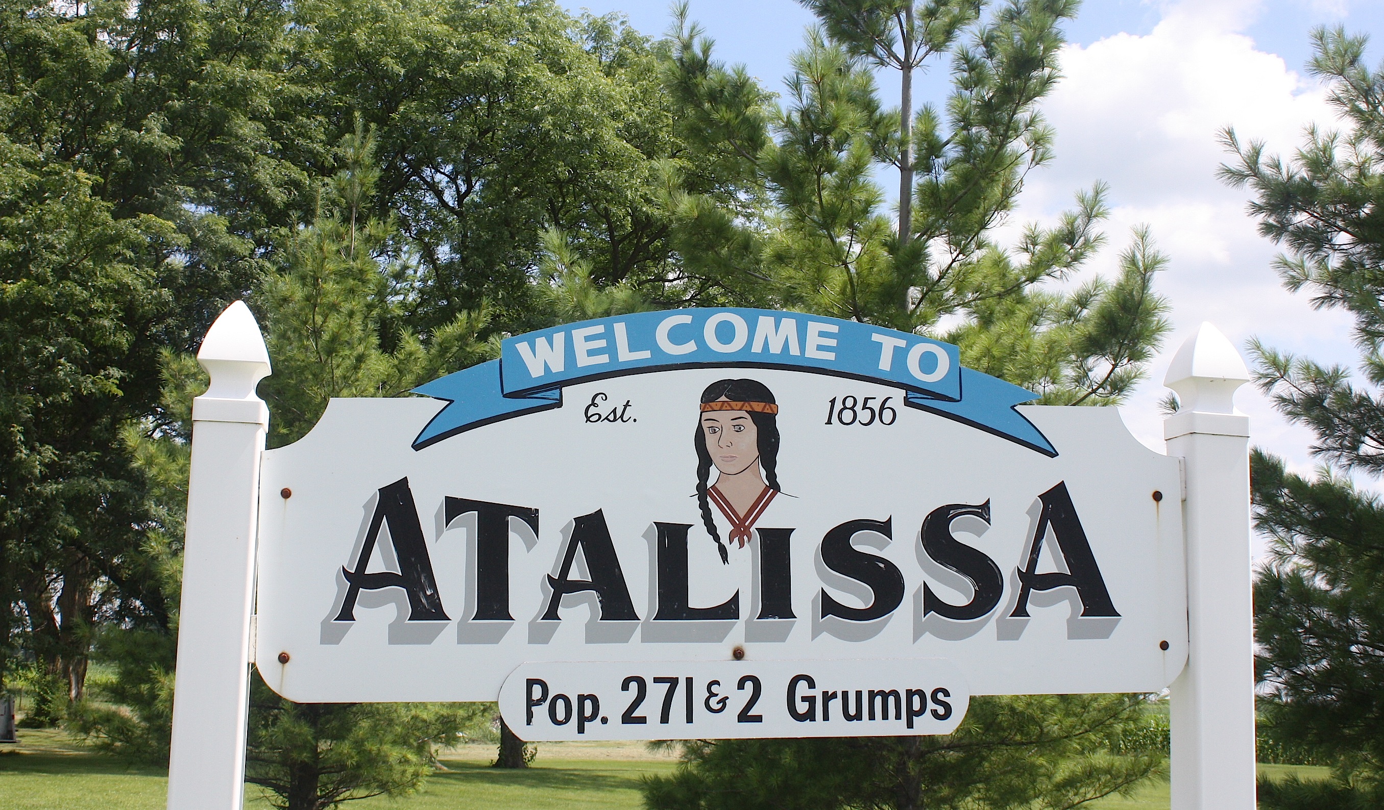
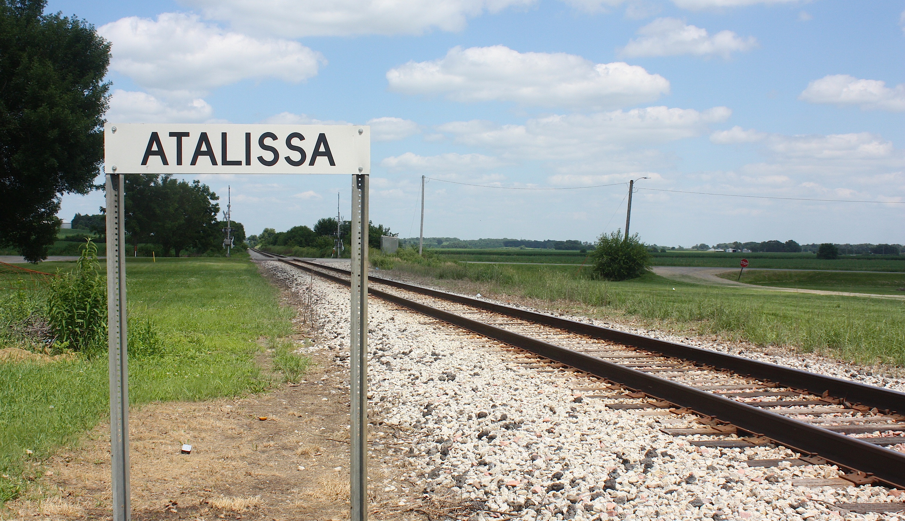
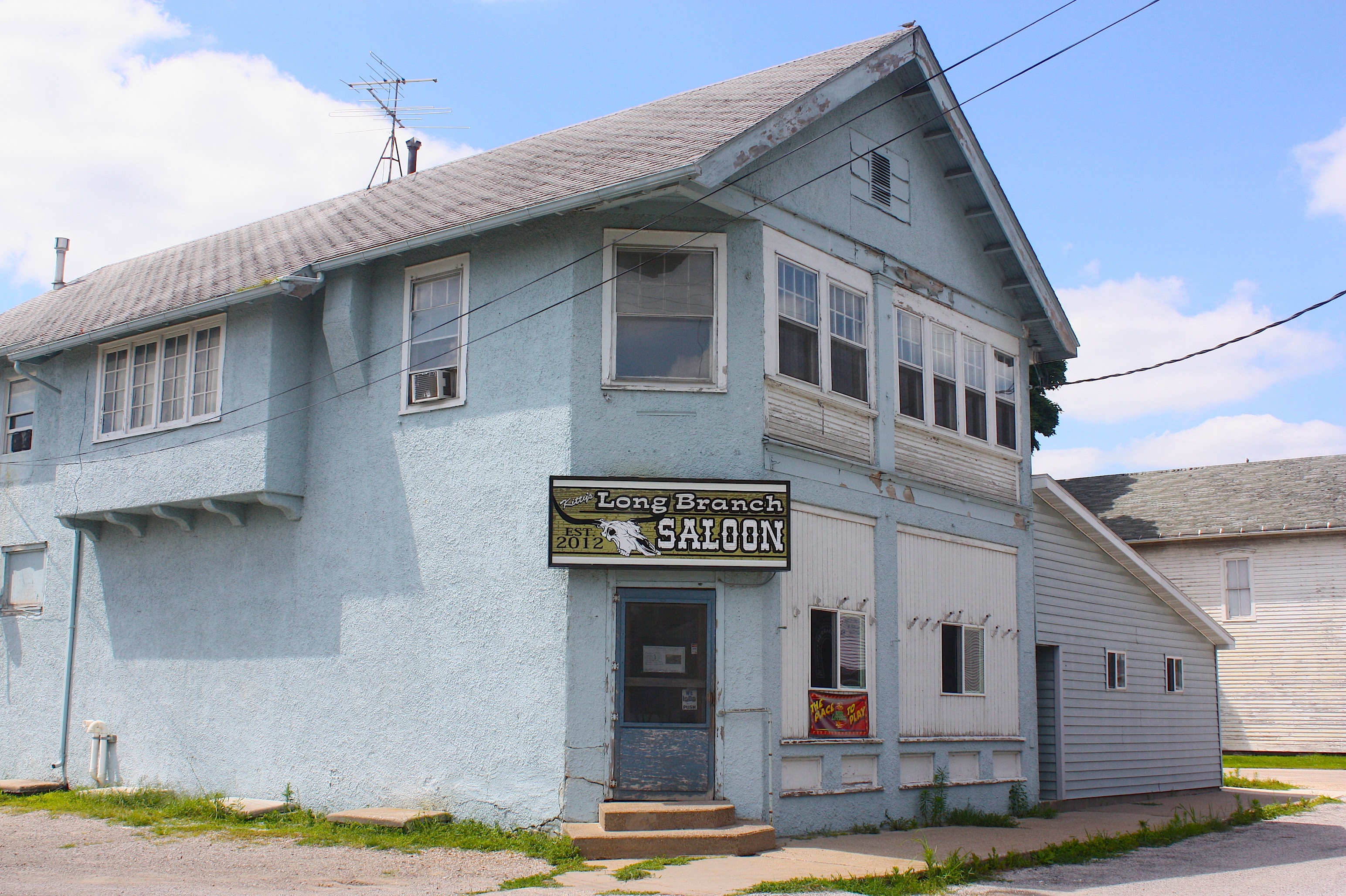
Just down the road is Atalissa (population 311). Going in, the only thing I know about Atalissa is all the negative press it got because of its own turkey processing plant here. Strangely, we never did see the plant. But we found the town had a number of enticing visuals, including the railroad tracks and the Longbranch Saloon.

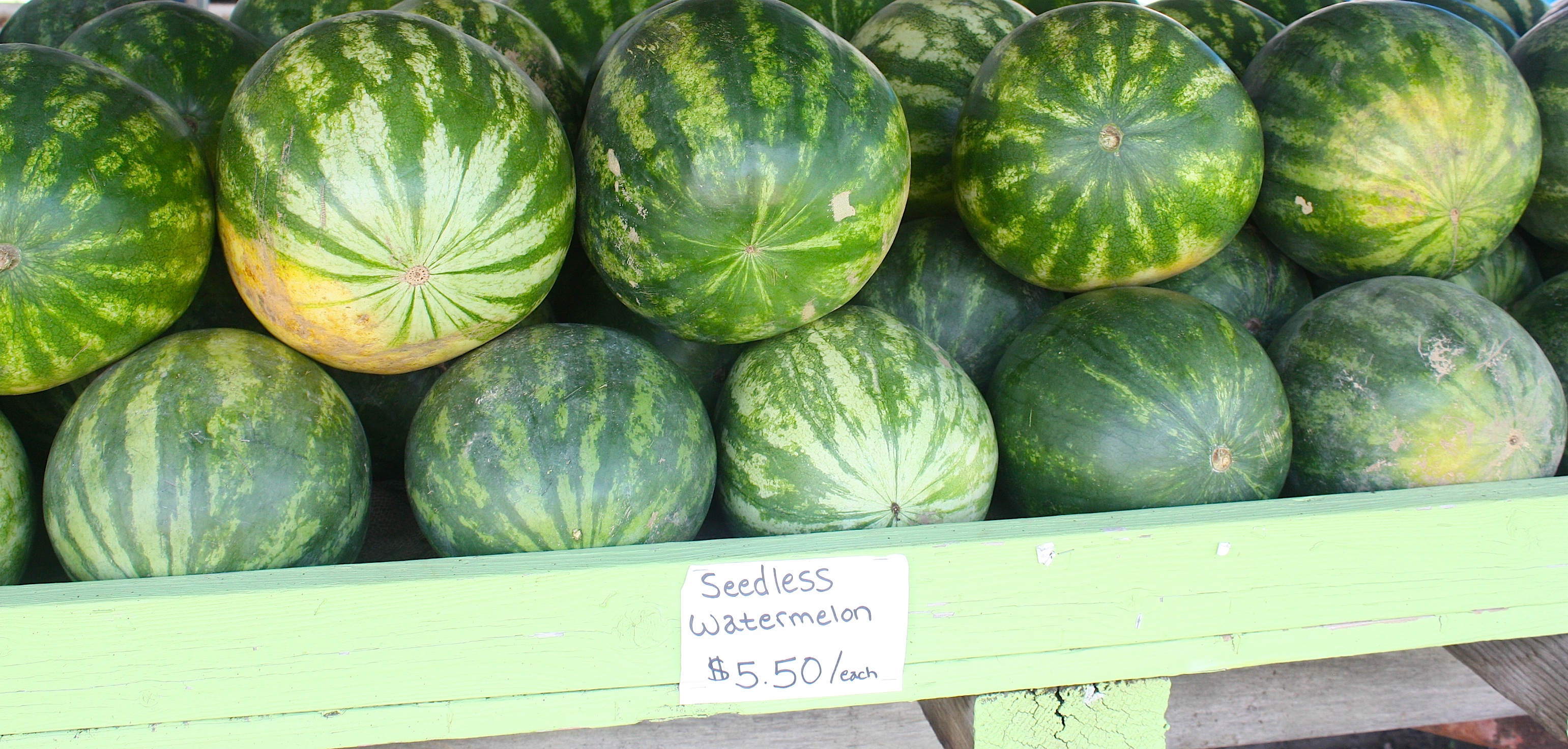
Another fun, visual stop was at Birkhofer Produce stand, an adorable corner of the world in unincorporated Moscow. There we found interesting signs, mailboxes, an old-fashioned laundry line, gardens, barns, and produce, below.


We leave Moscow and head for Wilton, a town I’ve wanted to visit for a long time because of the famous Wilton Candy Kitchen ice cream parlor. And wouldn’t you know it? It was closed. At 3 o’clock on a Thursday afternoon. Really??? I’m finding this trend truly annoying right now. I mean, I understand if we roll in to a town at 7:30 in the morning or after 5 p.m. or on a Sunday. Things will be closed. But come on! This is really baffling and disappointing.
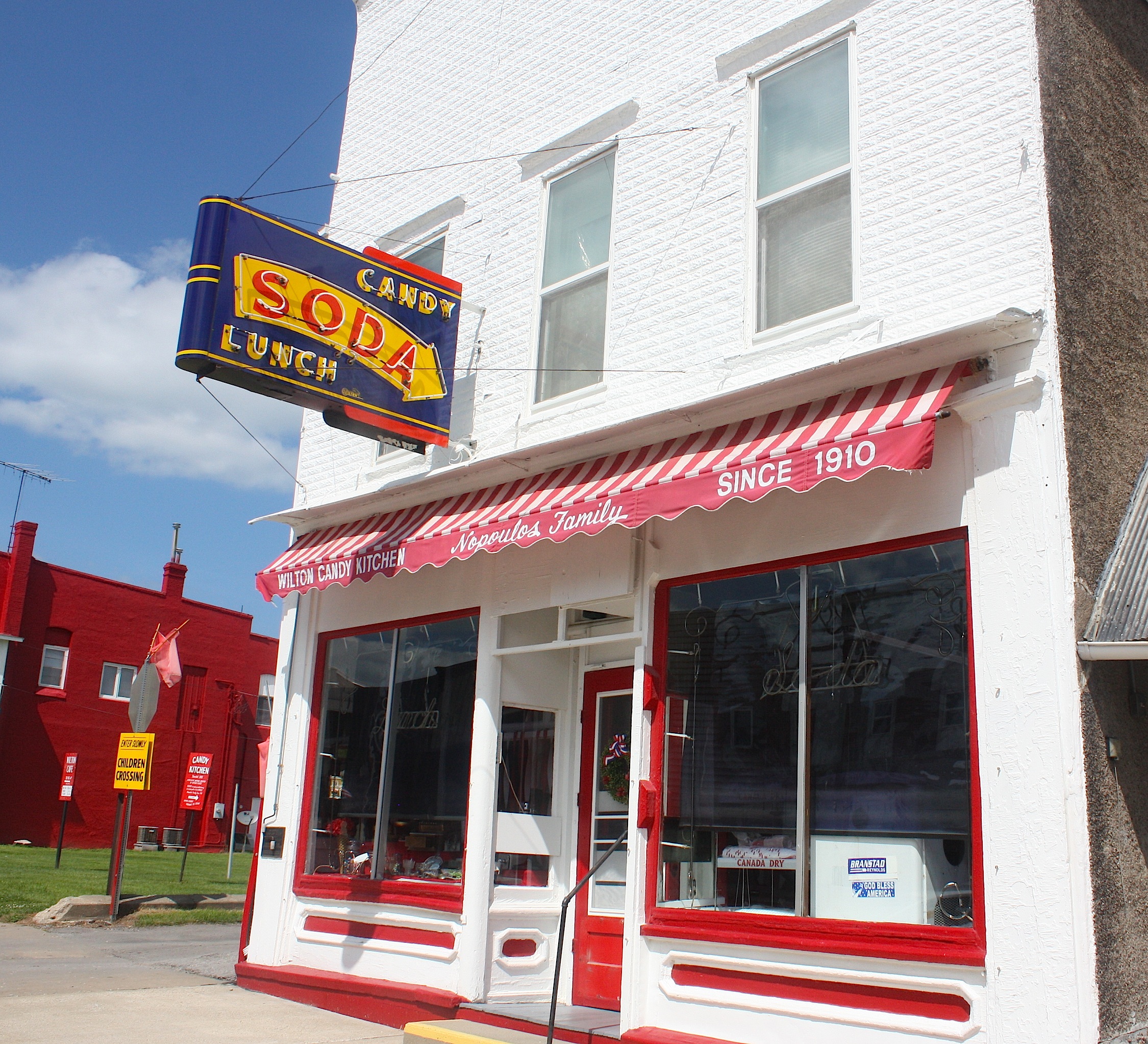

Wilton (population 2,802) is a cute town nonetheless, and there are the ubiquitous flags and flower baskets lining the streets. Which makes me wonder: Does RAGBRAI provide these to the pass-through towns? Because these things are everywhere.

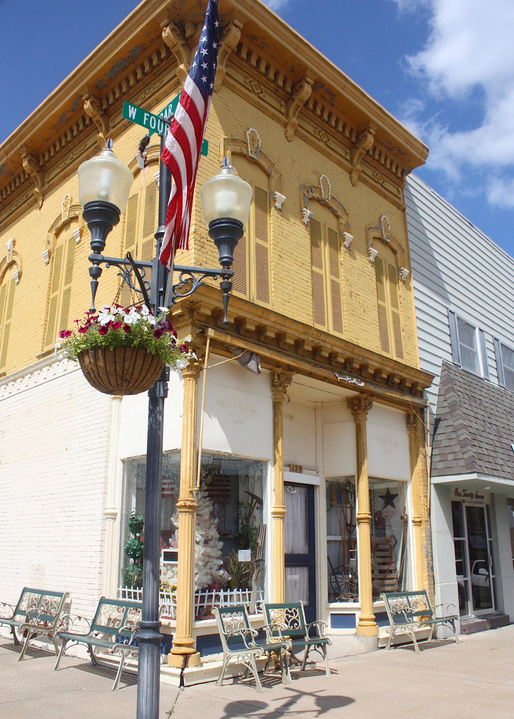
Next on the route is Durant (population 1,832), home to Durant Iron & Metal. There doesn’t appear to be much here…until we start to head out of town and spot Sunshine Antiques & Uniques, an adorable shop in a 1930s Texaco gas station, with painted patio furniture, tables, and other goodies outside. Inside, it’s very girlie and sweet.
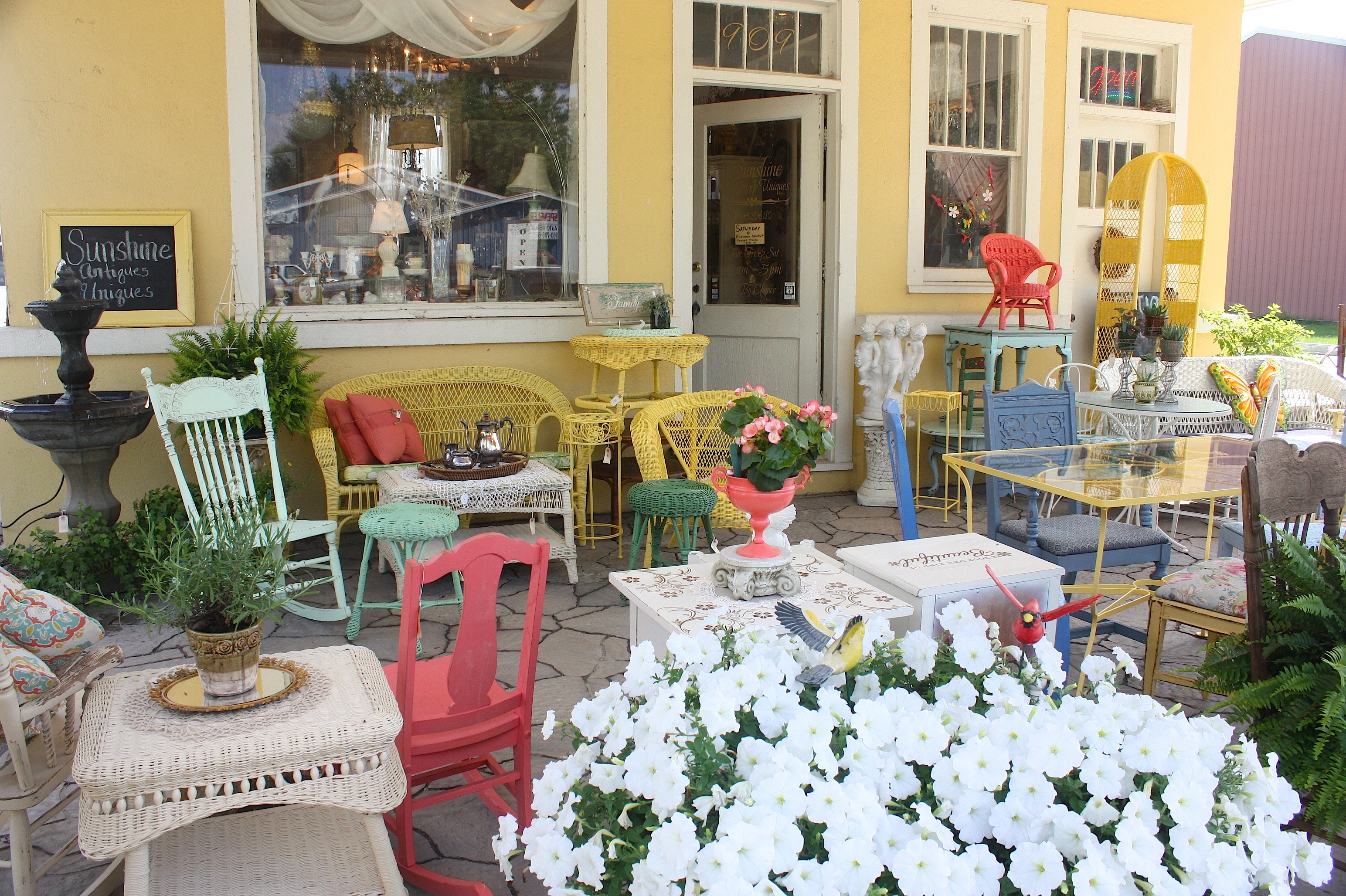
The owner said that men aren’t too crazy about the shop, but their wives love it. She said she buys most of the antiques and vintage goods at auctions and estate sales, and she paints/refurbishes the furniture herself. This is an awesome place.
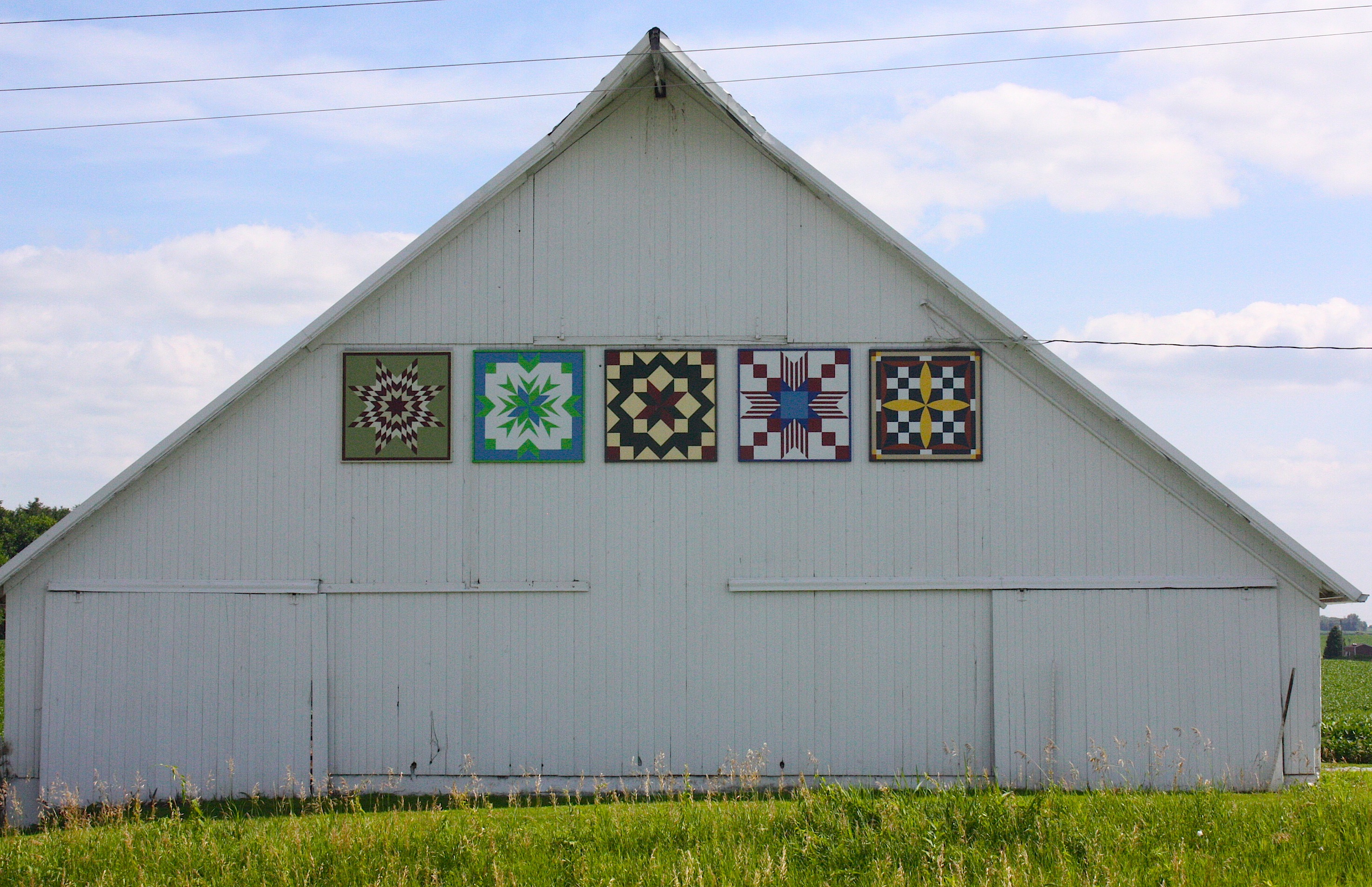
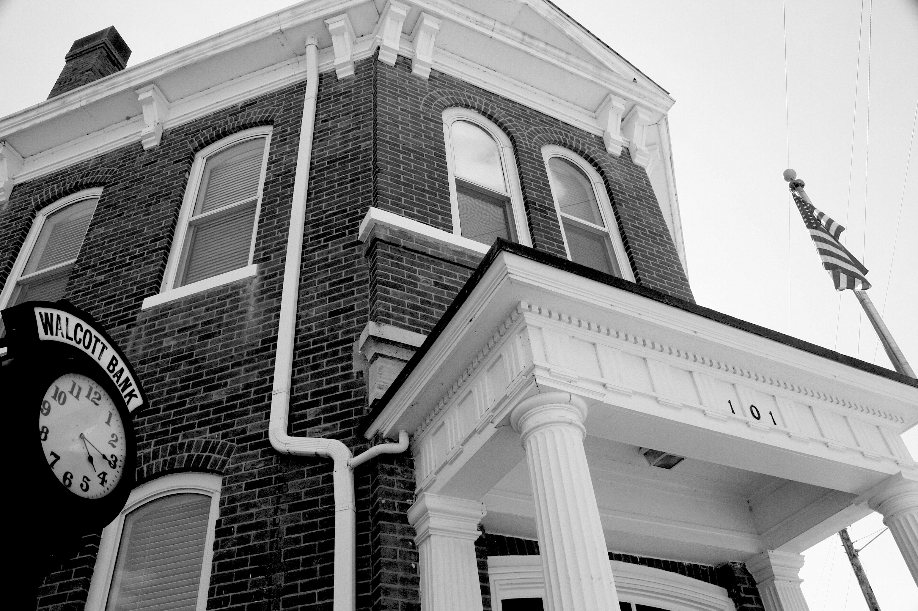
Our last stop before the end of the road in Davenport is Walcott (population 1,629). I’d characterize this tidy little town as a bedroom community for the Quad Cities, but with some character of its own. We met a gardener working to beautify a small plot in one of the city’s parks. There are some picturesque barn quilts on the way into town, and the downtown area has a historic VFW and a lovely bank, plus a large grain elevator.

Oh, and this: a castle! Apparently the castle was built as a home and was featured in the Acri Creature Feature, a regional television show that used to be on every Saturday night. (We learned this from the gardener.) The castle has seen better days; it appears to now house several rundown apartments.

At 4:45, we roll into Davenport. Our route takes us by some spectacular old architecture, including the lovely St. Ambrose College campus. Our destination is the riverfront, with its sky bridge, casino, green space, and bike path along the river. We go up the sky bridge for a different view before driving north along the river, with a view of lovely historic homes on the bluff.


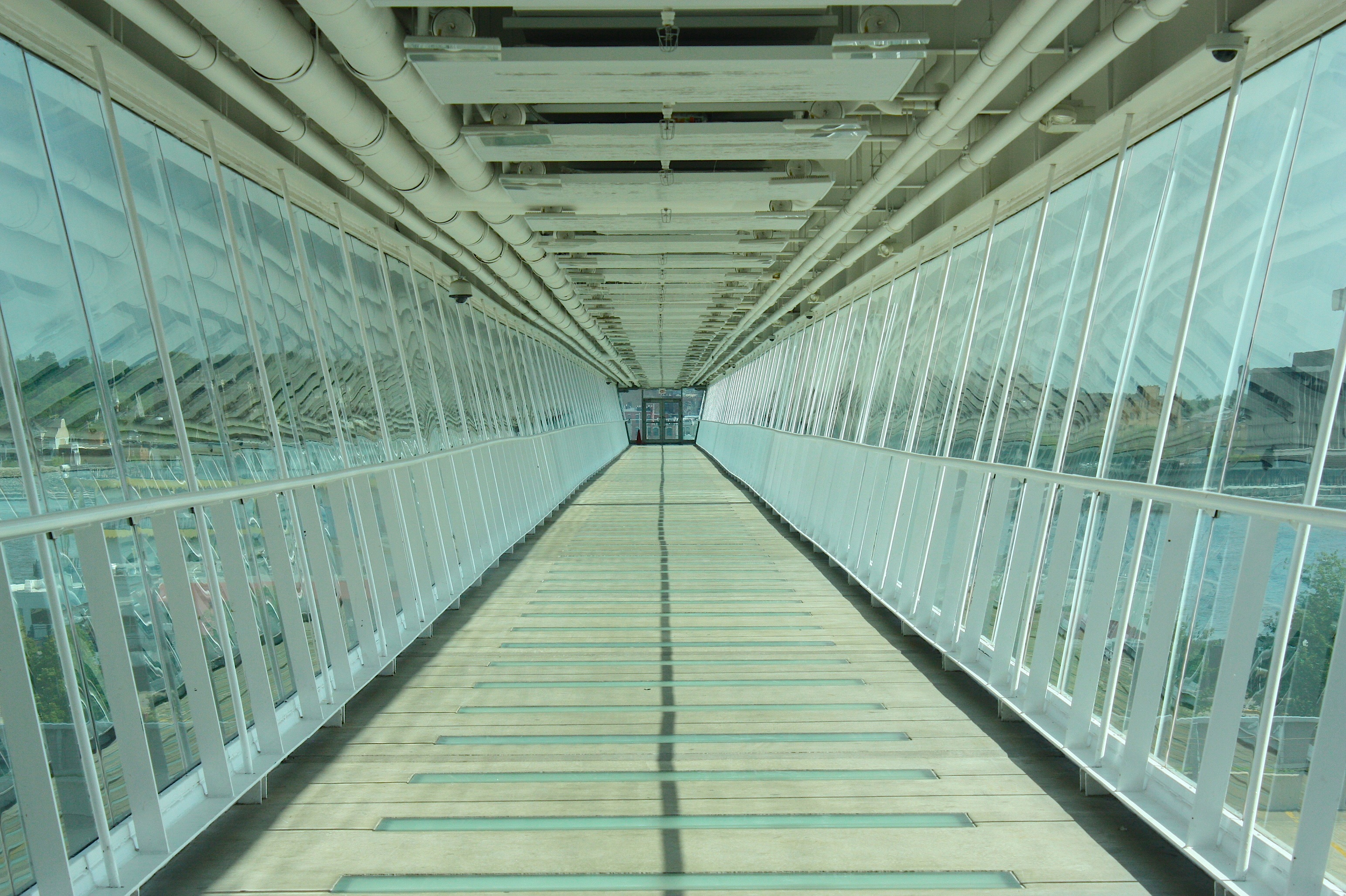
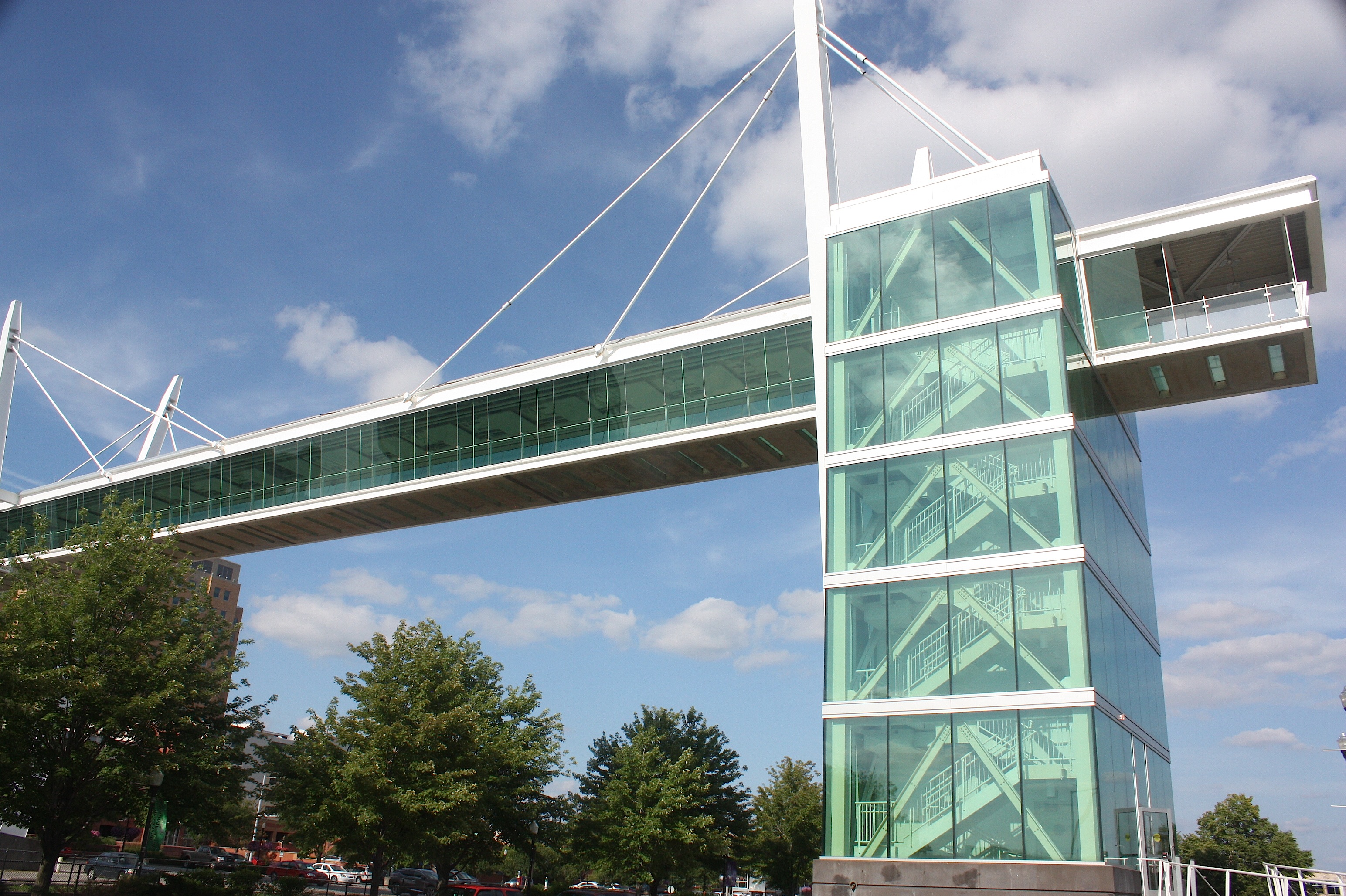
There’s much to see and do in Davenport, but we have a three-hour drive ahead of us, so we end our RAGBRAI route here at the waters of the Mississippi.
My hat’s off to the RAGBRAI route planners, and I’m a wee bit jealous of the riders who next week will see all that we’ve seen, but from the seat of a bicycle and with the added fun of food, friends, drink, and much frivolity.
Enjoy!

Great posts covering the RAGBRAI route. I really enjoyed seeing all the interesting places. You even snuck in a shot of Jim at the Hamburg Inn No. 2. Great stuff!
Thanks for taking the time to visit all of these Iowa towns. Great reviews and photos!