Archive for August, 2014|Monthly archive page
Cedar Rapids: Another look
 Comments (2)
I’m chipping away at Cedar Rapids. I’ve visited the state’s second-largest city a dozen times or more, mostly for business, but often with a little time to kill. I’ve written about the Czech Village and National Czech & Slovak Museum. I’ve also blogged about the Grant Wood collection at the Cedar Rapids Museum of Art and the Grant Wood Studio.
Sometimes when I’m in Cedar Rapids for work, I end up going to Iowa City or Mt. Vernon to eat or shop. I’m definitely not a Cedar Rapids connoisseur. But I’m working on it.

When I was in town earlier this week, I explored the New Bohemia district near the Czech Village. I think it’s got awesome potential. I drank coffee at Brewhemia (1101 3rd St. SE), a fun, urban coffee shop / bar next door to an art exhibition space. For lunch, I tried to visit the NewBo City Market (1100 3rd St. SE), but it was closed. It’s definitely on my list for next time – just so long as I’m there Thursday through Sunday. The market features anchor merchants selling food that ranges from cupcakes to eggs to pizza, plus a variety of guest merchants – indoors and (when the weather permits) outdoors.
Disappointed that I couldn’t eat lunch at the market, I opted for the Parlor City Pub & Eatery (1125 3rd St. SE), where I ordered a veggie pizza and a side salad and found it quite pleasant if rather unexceptional.

After lunch, I visited the African American Museum of Iowa (55 12th Ave. SE). I didn’t really know what to expect from this museum – if it would feature history, culture, art, music, or something else. The museum opened in 2003 with a permanent exhibit, “Doorways: A History of African Americans in Iowa.” A few years later, the building was badly damaged in the flood of 2008 and re-opened in 2009 – so it has the feeling of a very new museum. Today’s permanent exhibit is “Endless Possibilities,” a history of African Americans before, during, and after the Civil War and through the Civil Rights Movement – with some relationships to Iowa but on a fairly national scope. Photographs, artifacts, newspapers, and multimedia tell the story.

One highlight is a life-size photograph of President Barack Obama, First Lady Michelle Obama, and their two daughters after winning the Iowa Caucus in 2008. There’s also a mention of Iowa State’s Jack Trice and George Washington Carver. The last part of the exhibit is devoted to African American musicians and musical styles.

It’s a quick visit and well worth the $5 entry fee. Although I have to laugh when I think about the older woman who greeted us when we walked in. She told us how much we owed but could not make change when we offered her cash. (“I’m a volunteer,” she explained.) And then, later, after we’d toured the museum, I asked her what year the museum opened and she couldn’t answer that most basic of questions. “There’s a seven-minute video you can watch,” she offered.
I’m not sure why she was there.
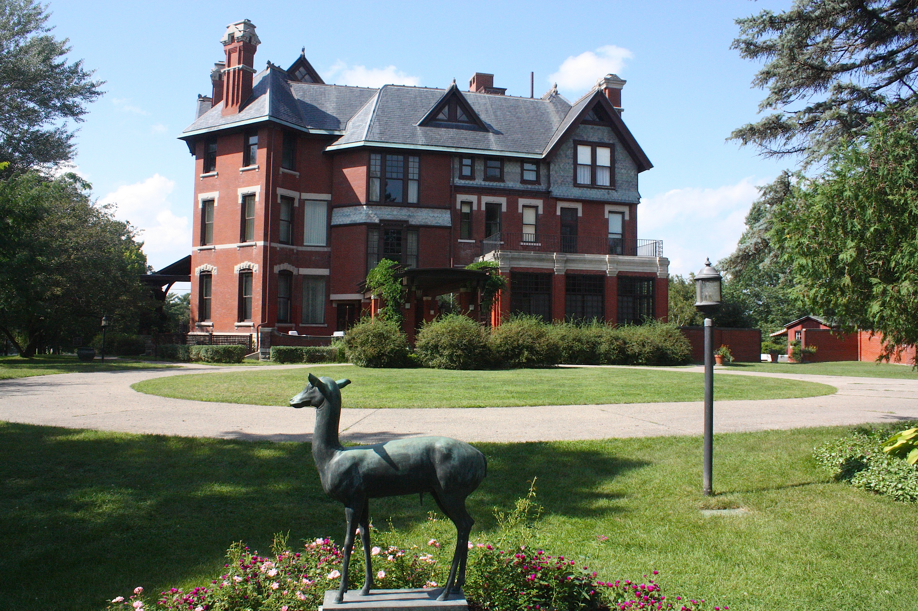
Our last stop was Brucemore national historic site and cultural center – which sounds sort of bland and boring, but believe me, it’s one hell of a cool place. I still can’t figure out how I didn’t know about it. I’d seen the brown signs on the highway but all I really knew about it was that it was a mansion.
So, yeah, it’s a mansion. But it’s got a fascinating history, and the architecture and grounds are spectacular. The place is 26 acres filled with not just the huge house and its porches and swimming pool but also a carriage house, servants’ quarters, greenhouses, orchard, garden house, tennis court, gardens galore, a pond, and a pet cemetery (I’ll get to that later). It just knocks your socks off.
I should mention that I was there on the ONE day of the week that the house isn’t open for tours: Monday. This was sort of unfortunate timing on my part, but I have to admit that sometimes I’d just rather nose around the yard and look at the house from the outside instead of taking a guided tour. Sometimes those are long and, frankly, boring. (If you decide you want to do it anyway, the cost is $7 and the house is open March through December.)
Luckily, the visitor center is open every day of the week, and it’s just chock full of photographs and films and information about the people who lived in Brucemore. Besides the awesome grounds, the history was my favorite part.
In a nutshell: A widow, Caroline Soutter Sinclair, built the mansion in the 1880s for her six children. She must have been richie-rich because the house is enormous – 21 rooms. Her husband ran Sinclair & Company meatpacking facility (he died in 1881 after falling into an open elevator shaft…bummer). In 1906, after Caroline’s children were grown, she moved into a smaller house in town and traded the home to George and Irene Douglas.
The Douglases were a Quaker Oats family and also owned a firm that produced cornstarch. The name Brucemore came from George’s middle name, Bruce, with an “allusion to the moors of Scotland.” The Douglas family tripled the property size and added landscaping and buildings. In 1937, 14 years after George’s death, Irene bequeathed the Brucemore estate to her eldest daughter, Margaret Douglas Hall.
And that’s when things get really interesting. Margaret and her husband, Howard, apparently had a gazillion dogs – all German shepherds and mostly named King – because they are buried in the pet cemetery and enshrined in dog statues throughout the grounds. You can view photos and films of the dogs in the visitor center. But more entertaining than the dogs by far are the lions: three of them, all named Leo. The first, purchased in 1936, was a descendant of Jackie, the MGM lion. How amazing is this? He did not live long, but the second Leo lived for 13 years and is featured in home movies, wrestling and rolling around with the dogs and with Howard. Leo the 2nd is buried in the pet cemetery. I don’t know too much about Leo the third.
The film library is remarkable. From the late 1920s through the 1960s, the Halls documented scene of vacations, family and friends – and also behind-the-scenes images from the set of “Gone With the Wind.” I’m not sure how he managed it, but you could just sit and watch this stuff all day.
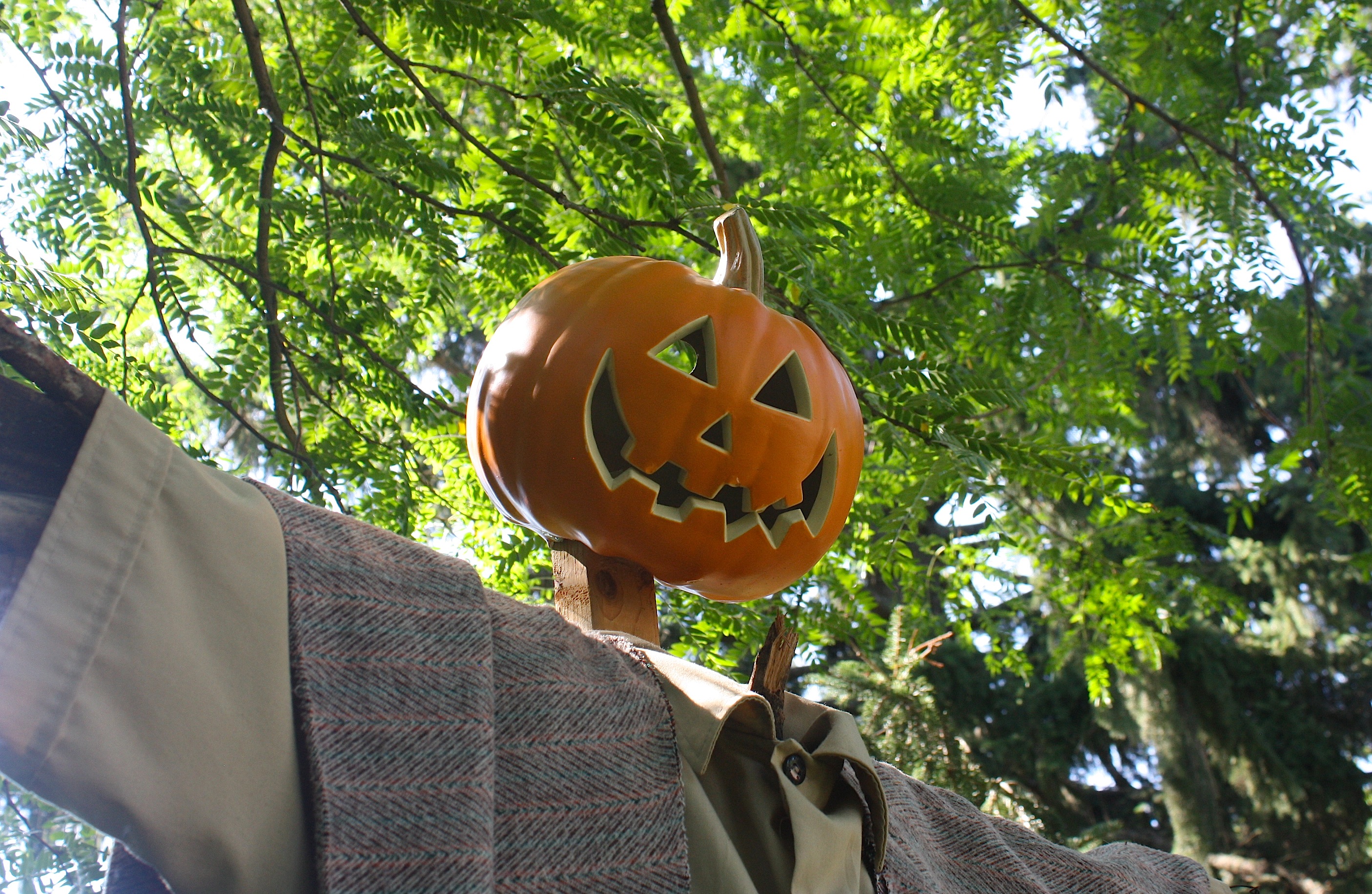
I probably haven’t done this amazing place justice – you really must visit it yourself (at 2160 Linden Dr. SE). They have lots of events – art shows, theatre performances, concerts, festivals, and special exhibits. There’s a scarecrow invasion in October you might want to check out.
“Fun” at the fair

I try to enjoy the Iowa State Fair. I really do. It’s such an Iowa thing.
But I struggle to understand why people love the fair and come back every year. I spent the better part of two days at the fair this year, working in the Iowa State booth where we had literally thousands of alumni (and other visitors) looking up their names on a wall (below). I love that it was popular, but I have to admit that I really don’t understand the appeal.

The first day I worked, I got there just in time for my shift and left when the Varied Industries Building closed. So I didn’t have much time to check out the rest of the fair. During my 15-minute dinner break I grabbed a caprese salad (cherry tomatoes, fresh mozzarella balls, and basil) on a stick and an overpriced lemonade. The best part of my dinner break was sitting down.
I did want to see a few things at the fair – and eat food that’s deliciously bad for me – so after I finished my shift at 3 o’clock on Day 2 I had a list of things to do. I first wanted to see the other university booths in Varied Industries – check out the competition – so I made my way through the aisles of hot tubs and waterless cookware to find the University of Iowa, UNI, and my alma mater, Northwest Missouri State. (Ours was better.)
I was with my husband, Dave, and he was hungry, so we visited the food vendors next. He’s not a big fan of fair food, but he did find a satisfactory pork chop on a stick, and we both ate an ear of Mexican grilled corn on a stick, which was buttery and delicious. We spent some time at the Iowa Craft Beer tent – an excellent addition to the fair – and drank some Iowa microbrews.

Happier now, we strolled through a few animal barns – horse, sheep, cattle – and walked through the Agriculture Building. Dave had never seen the butter cow, if you can believe it, so we stood in the line that ran halfway down the length of the building, patiently waiting to view not only the world-famous cow but also a butter sculpture of Kevin Costner and some corn stalks in the Field of Dreams display. Dave says he’s now a true Iowan.

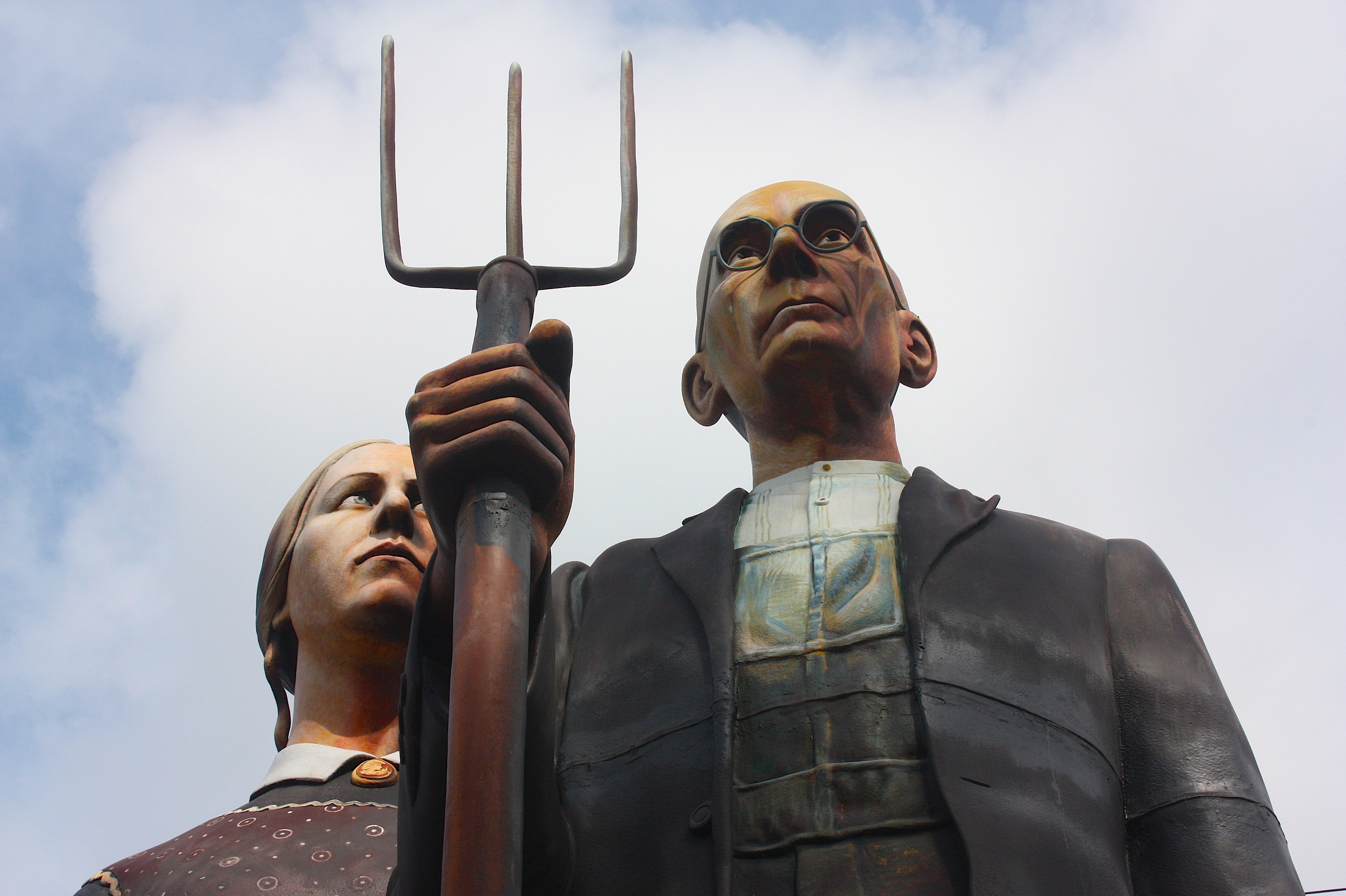
Here’s what I like about the fair: I like the vegetable-growing contests. I enjoy reading about the cooking competitions (but think some of the contestants are freakishly out of control). I like the cultural building with its art and photography exhibits. This year I really loved seeing (for the fourth time) Seward Johnson’s gigantic “God Bless America” sculpture (above) modeled after Grant Wood’s “American Gothic” – looking like it truly belonged on the Iowa State Fair grounds. I like the poultry barn, which also houses rabbits, and I like some of the frozen desserts that you can get only at the fair. I’ve never tried a deep-fried frozen Twinkie or Snickers candy bar on a stick because that stuff doesn’t really appeal to me, but I do like the chocolate- and nut-covered ice cream goodies. For the second time in my life I ate a Bauder’s peppermint bar, a wonderful concoction of peppermint ice cream sandwiched between smashed-up Oreo cookies and fudgie topping. Whoa. (That’s me below with my peppermint bar and Dave’s strawberry milkshake.)

Loess Hills Scenic Byway

The Loess Hills of western Iowa beckoned this summer, and I’m not sure why. I knew that driving the entire 220-mile scenic byway would take at least two days, and I didn’t really have time…but still, I kept thinking about it. I did some research. The more I learned, the more fascinating it seemed.
This drive was meant to be.
So I took off work the first day of August – an unseasonably cool Friday – and headed west.
The Loess Hills are considered a natural geologic wonder found in only two places in the world: Iowa and China. The word “loess” comes from the word “loose” – meaning loose soil. The hills in western Iowa are made up of windblown soil from the end of the last ice age.
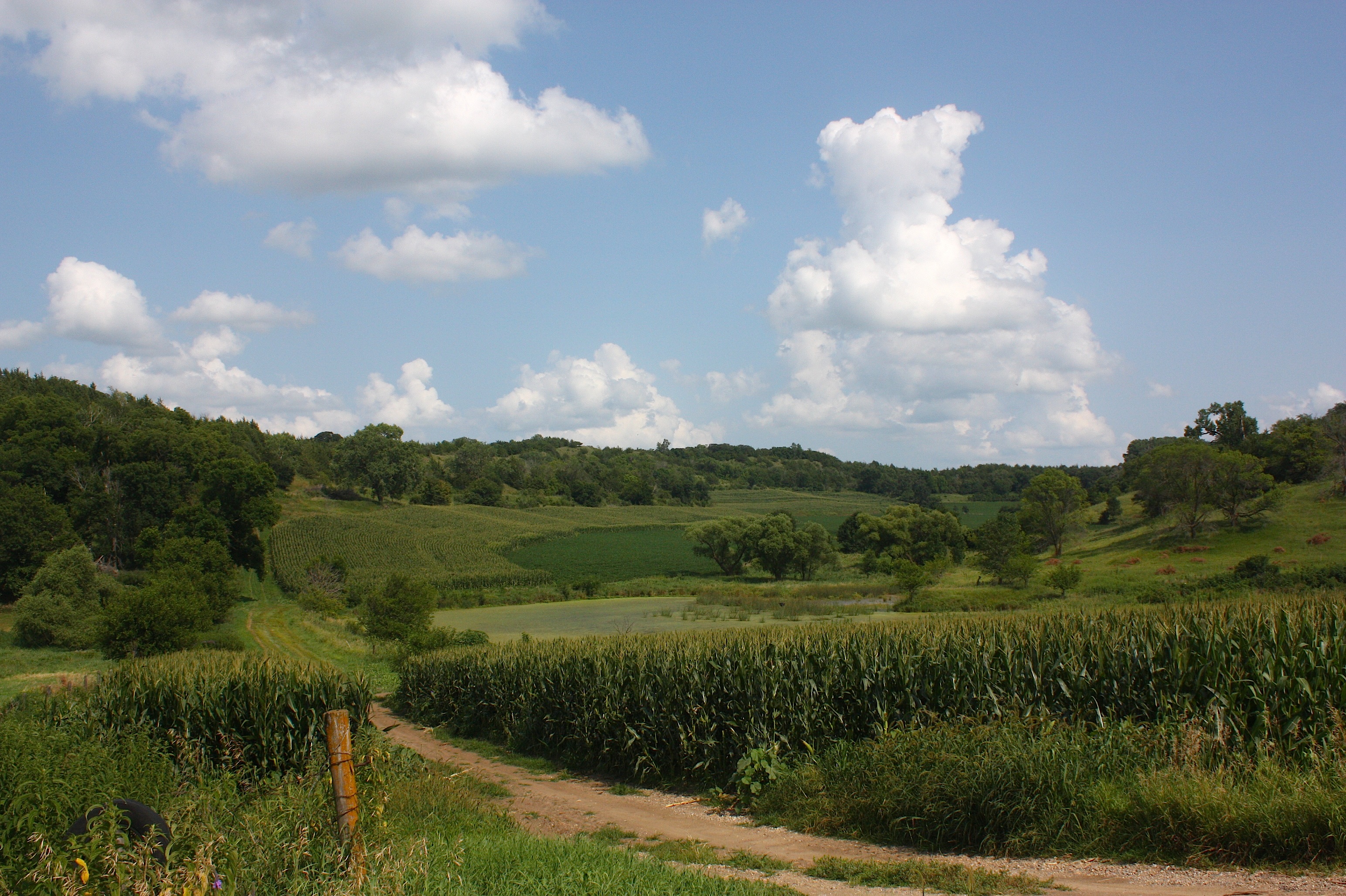
This part of the state looks unlike any other. While some of Iowa is flat, most of the state is made up of gently rolling land. The Loess Hills are really hills, as I would soon learn.
I started early Friday morning, heading north out of Ames. I wanted to get to the northern end of the byway as early as I could, so I took what I thought would be the most direct route: north I-35 and then west on Hwy. 20. I stopped only once – in Correctionville – for a bathroom break at Casey’s. (What would we do without Casey’s? There would be no bathrooms in Iowa.) When I got to Sioux City, I took Hwy. 75 north to Le Mars (ignoring signs for the ice cream capital of the world) and then west on State Hwy. 3. I was in Akron before 10:45 a.m., stopping (again) at a Casey’s for gas. From then on, the rest of the day, I drove the Loess Hills Byway.
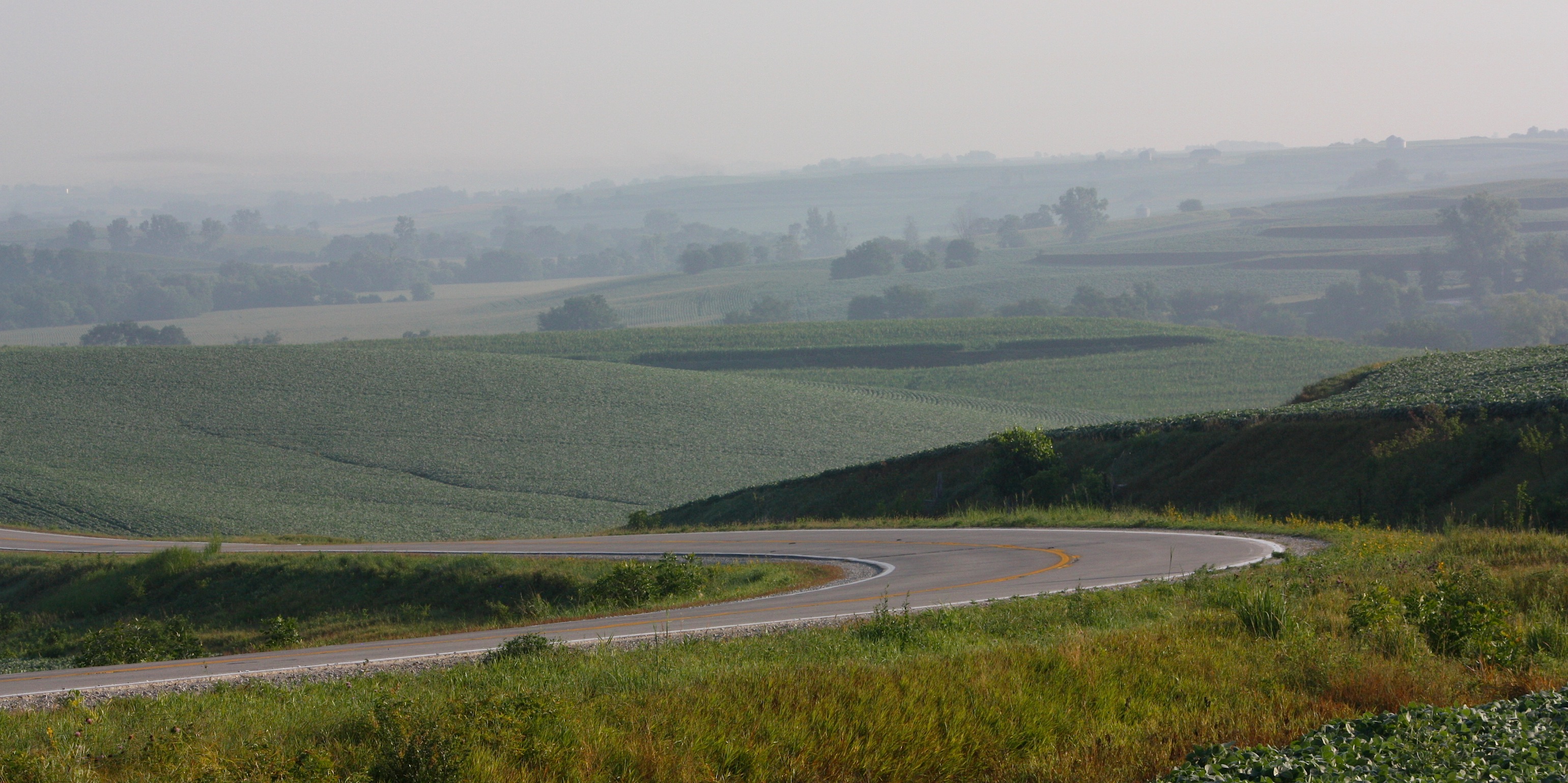
Here’s one thing I learned about the byway immediately. There are two parts: the main byway or “spine” and the “loops.” The spine is pretty, but it keeps you at arm’s length of the hills. It’s sort of like standing next to someone you don’t know very well. The loops are like giving a big hug to someone you love – they take you right up in there.
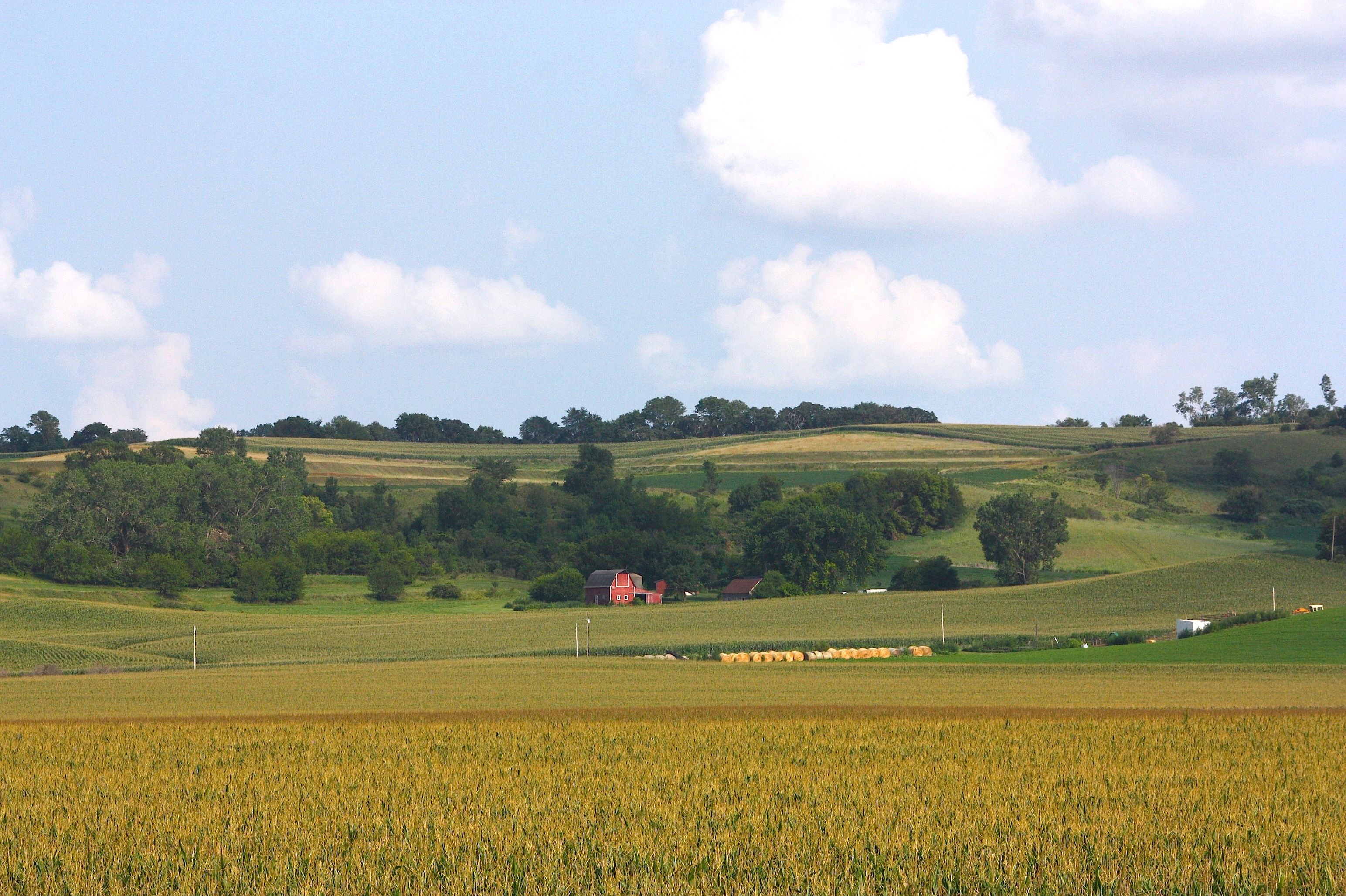
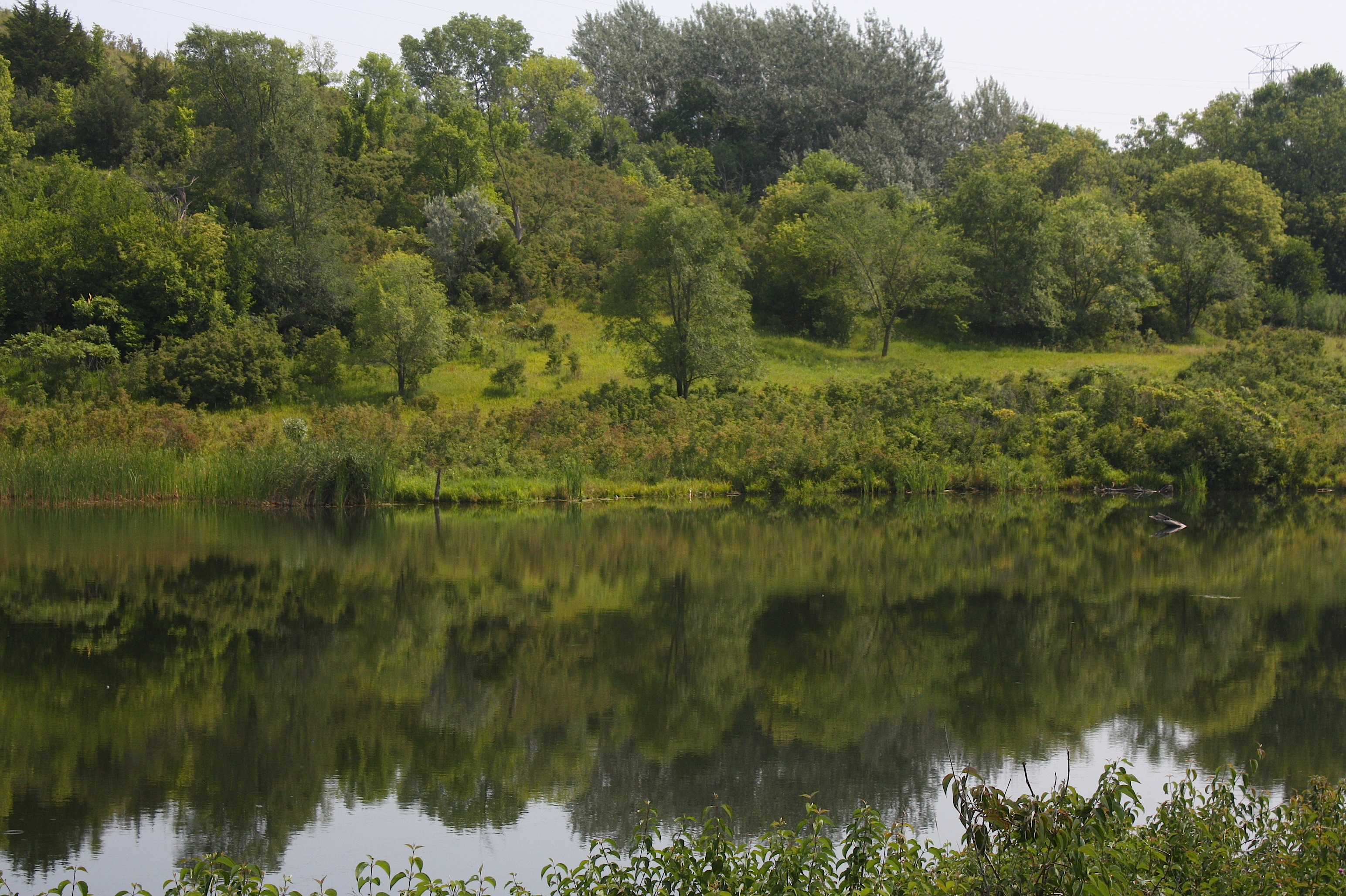
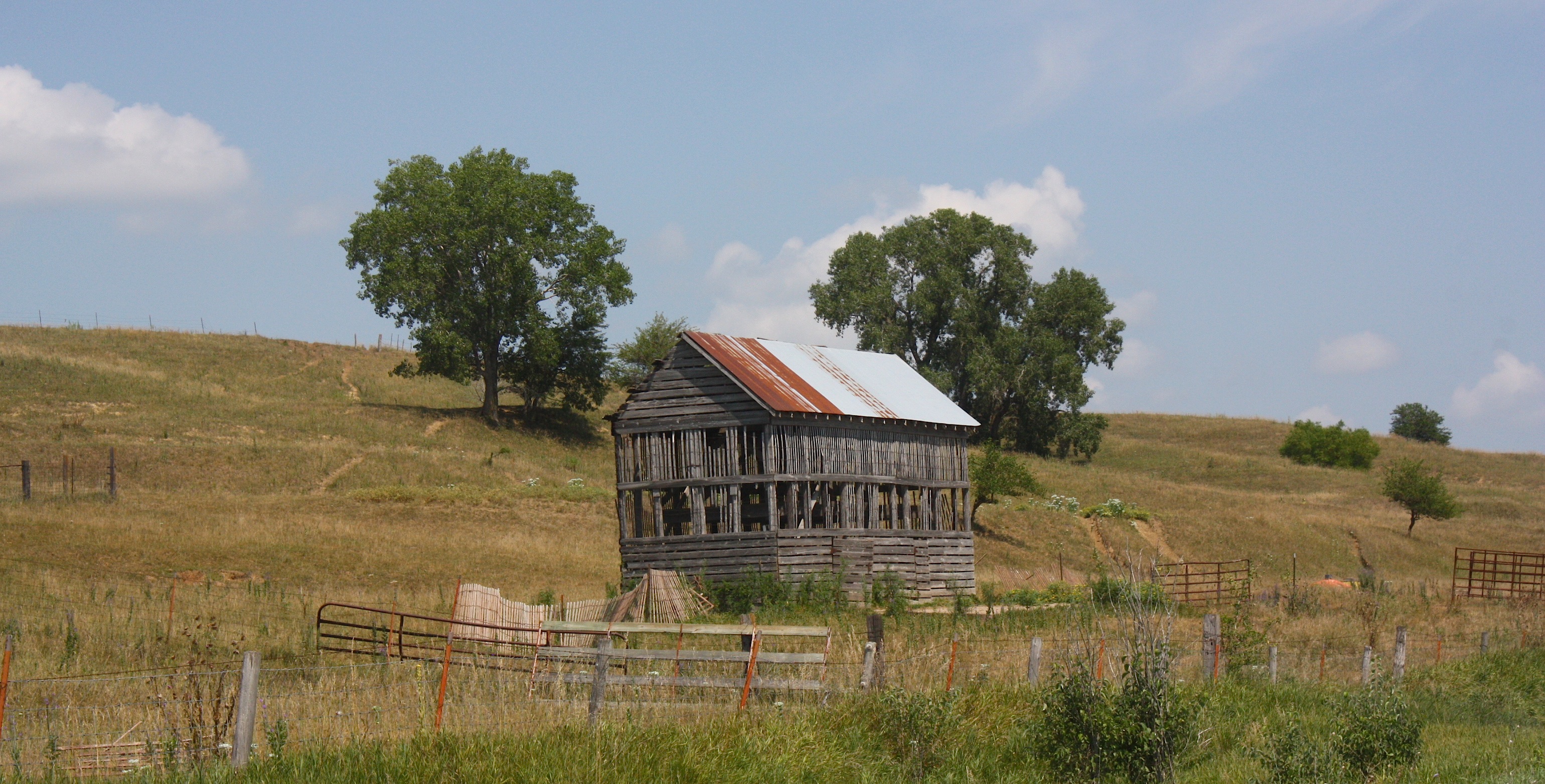
I spent a lot of time on the loops. I think I took about 85 percent of my pictures on the loop roads – and I shot most of the others in state parks and nature preserves. The loops are awesome. They’re mostly gravel, extremely rural, and surrounded by these beautiful green hills that seem so out of place and therefore so delightful. I encountered farmland and barns, old cemeteries and churches, wildflowers and grasslands. The variety is pretty amazing. Several of the roads were like gravel rollercoasters – think San Francisco-style hills. Seriously!

Both the main byway and the loops are well marked. The signage is really helpful; I would never have found many of the twists and turns just by following the map. Even with the great signs, I still managed to get lost a couple of times. More about that later.
OK, so I started out in Akron and drove south on State Hwy. 12 to Westfield, where there reportedly is a Loess Hills Interpretive Center, but I didn’t find it. I did find the first loop: Ridge Road Loop, one of the most spectacular on the whole byway. This mostly gravel loop (drive slow!!!) takes you to both the Broken Kettle Grasslands and the Five Ridge Prairie County Park. The 4,500-acre Broken Kettle prairie preserve is said to contain flora and fauna not found in other parts of the Loess Hills, but there are no trails so I can’t really say for sure. The prairie looked pretty from the road, though, and I did see a lot of wildflowers there.


I took a short hike at Five Ridge Prairie, one of the larger roadless areas in the Loess Hills. I didn’t have a hiking map, so I didn’t really know what trails were there. So I just did a leg stretcher and moved on.
At this point it was about 12:30; I left Plymouth County and entered Woodbury County. Just across the county line are Stone State Park and the Stone Park Loop. I took advantage of the shady park’s picnic tables and had myself a little picnic lunch. Just south of the park is the Dorothy Pecaut Nature Center. I was really looking forward to this stop, because I’ve seen pictures and the center looks really cool. But the road was closed due to construction, so I couldn’t find out. Disappointing.
Rather quickly I found myself in Sioux City, trying to follow the signs as the byway takes you onto I-29 and through residential and commercial sections and through some annoying road construction before returning to the pastoral, rural county roads. The cities (Sioux City and later Council Bluffs) are by far the least picturesque parts of the byway, and I wondered as I drove through the urban regions if there couldn’t have been a prettier way to bypass them.
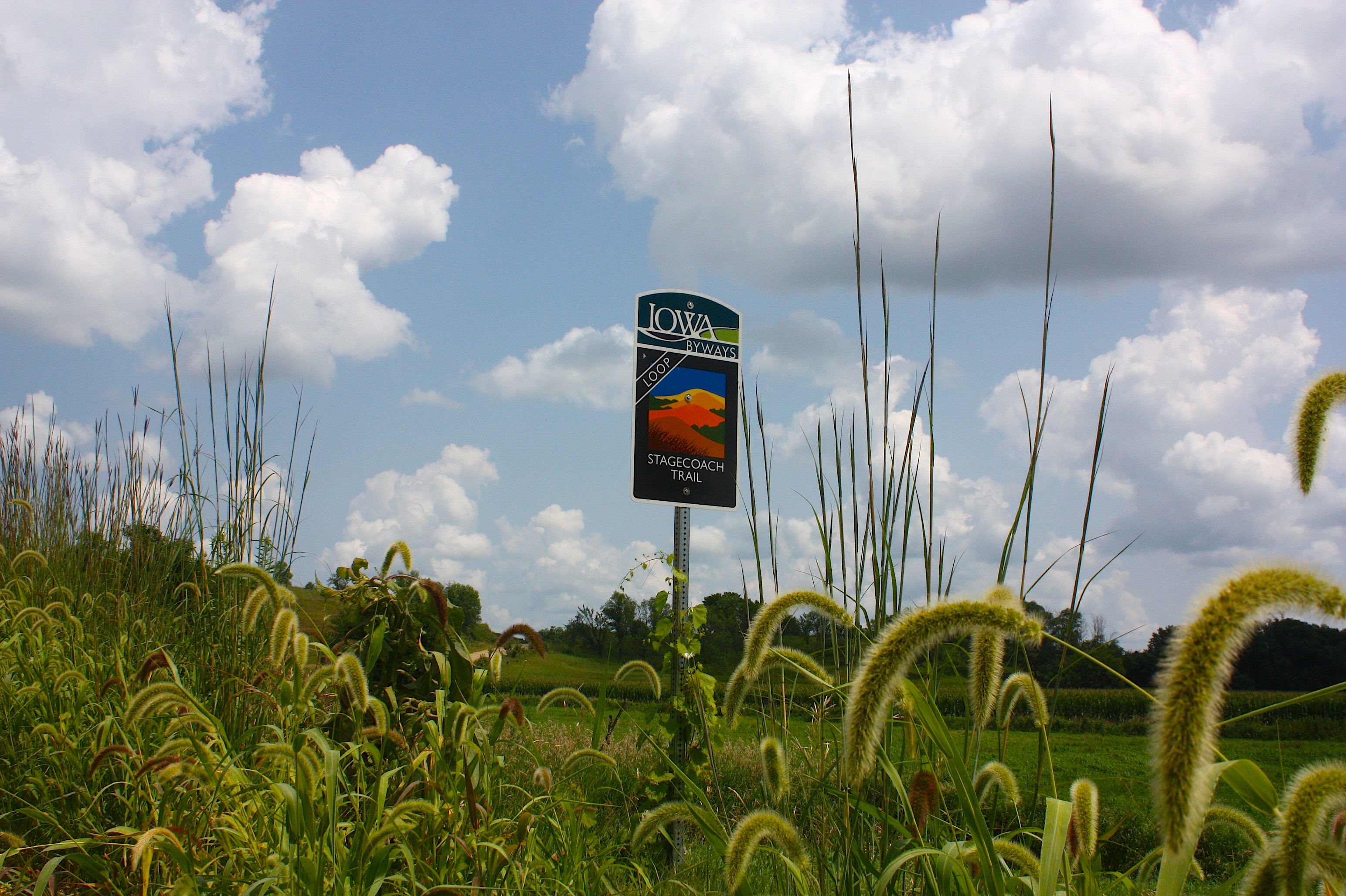
Further down the road in Woodbury County, I left the main spine to take the Stagecoach Trail Loop. Here is where I got lost. The Stagecoach Trail intersects with the Smokey Hollow Loop and I got really turned around. I ended up going through the small town of Smithland three times. The second time I thought, “This can’t be right,” so I turned around, but indeed it was right because of the way the loops popped me out…but at any rate I finally figured out what I’d done wrong and got back on the byway going south.
And that’s another thing: the road does NOT always travel south. You end up going east and west and even north occasionally. So it’s really good to have a detailed road map and follow the signs because it’s sort of nerve-wracking to feel like you’re going the wrong direction.
I thought I would NEVER find my way out of Woodbury County, so I was really happy to see the Monona County line. By this time it was getting to be late afternoon. My goal was to reach the bed and breakfast I’d reserved in Crescent by 7 p.m.

I took the Wilderness Loop, which at first I thought was really poorly named – it was more the Agricultural Loop – but it ended up being very pretty and sort of wilderness-y after all. I stopped briefly at the Loess Hills Wildlife Area, Turin Loess Hills Nature Preserve, and Sylvan Runkel State Preserve, none of which was especially exciting, but the gravel lots gave me an opportunity to get out and stretch my legs and take a few pictures. I was really looking for the Preparation Loop, which I hoped would take me to Preparation Canyon State Park, and it did. The park has some mighty pretty views, and I’m assuming some good hiking trails, but I didn’t have much time to spend there. I moved on.
And then the road ended.
Well, not really ENDED ended, but State Hwy. 183 just closed abruptly without a detour sign. Luckily I did have a good Iowa highway map, so I backtracked from the Moorhead/Pisgah area where the road ended back up to County Road E54 (which was really pretty), over to State Hwy. 37 and down to Dunlap. In Dunlap I caught Hwy. 30 and drove to Logan, at which point I hooked back up with the Loess Hills Byway. But for a short time I was also on the Lincoln Highway Historic Byway AND the Western Skies Scenic Byway and with all those signs I got confused and ended up going back to Dunlap…but I had been right all along. Sigh! I was pretty stressed out at this point and was nearing my estimated time of arrival – and I was still in Harrison County and quite a ways from my destination.
I passed up the Fountainbleu Loop and the Orchard Ridge Loop – god forbid I should get lost again – and stayed on the main byway. I also passed the Hitchcock Loop and the road to the Hitchcock Nature Area – I knew I’d have to double back tomorrow morning to see those. I was headed south on L34 (not far from the intersection of I-80 and I-680) and realized that the byway does NOT go through Crescent. So I took a little cut-through (County Road G36), a hilly, winding little thing. I was super excited when it actually did take me to Crescent.

I checked into the Crescent View B&B – which does, indeed, have a lovely western view (above) but not much else to recommend it – and headed into town for some food. I found Denny’s Place, a kind of dive-bar-slash-pizza-restaurant that I enjoyed very much. I ordered a personal-sized veggie pizza, and it was just the right amount of food. I also savored a cold beer.
Back at the Crescent View I sat outside and watched the sun go down and then called it a night.
The next morning, Carol Meduna, who runs the B&B with her husband, John, fixed me a huge breakfast – about three times more food than I normally eat that early in the morning. Besides good coffee, she prepared a yogurt/granola/fruit parfait, apple coffee cake, a spinach-mushroom omelet, and fried potatoes.
After I checked out, I backtracked to the Hitchcock Loop, which I’d passed the night before – but not before pulling off the road to snap a few pictures of the hills in the early-morning light and low-lying fog.

The Hitchcock Loop took me to the Hitchcock Nature Center, a really wonderful place as it turns out. I paid $2 at the entrance, parked my car, and enjoyed a pretty overview before taking a quick hike on one of the many, many trails in the area. Hitchcock features the Loess Hills Lodge interpretive facility, plus camping cabin rentals. This seems like a great getaway and not difficult to get to if you take the direct route from Des Moines (I-80) as opposed to the winding, 12-hour route I took to get there. I’m sure it’s especially lovely in the fall.
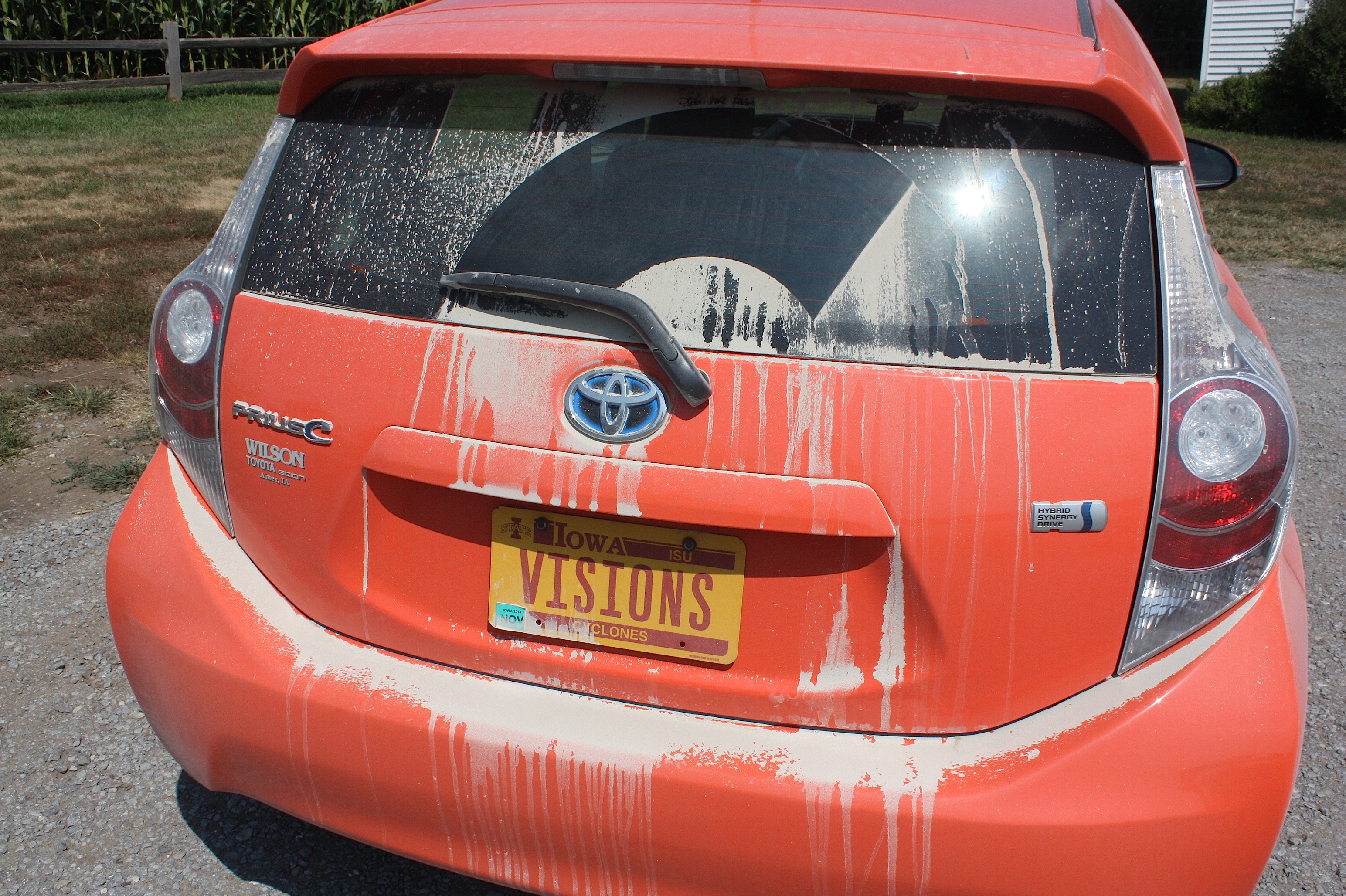
I was starting to get low on gas (even though my little dirt-covered Prius C was getting about 57 miles to the gallon) so I was happy to get to Council Bluffs next. And then, after getting gas and using the restroom at (you guessed it) Casey’s, I was immediately NOT happy to be in Council Bluffs, because the byway route is ridiculous and takes you through what must be the most unattractive part of the city. Again, I was relieved to be back on the rural roads after that.
I took the Waubonsie Loop (which, oddly, does not take you to Waubonsie State Park) and then headed into Freemont County – the last county on the byway. I took the Pleasant Overview Loop and, following the advice of my trusty Loess Hills brochure, took the first gravel road to the left to an old cemetery and a beautiful overlook with thousands of yellow wildflowers. It was breathtaking.

The Pleasant Overview Loop itself takes J34 to Sidney, where the road inexplicably ended (again) without (again) telling you how to detour around it. I drove around in Sidney (it was rodeo weekend! Exciting!) and finally gave up, going back the way I came.
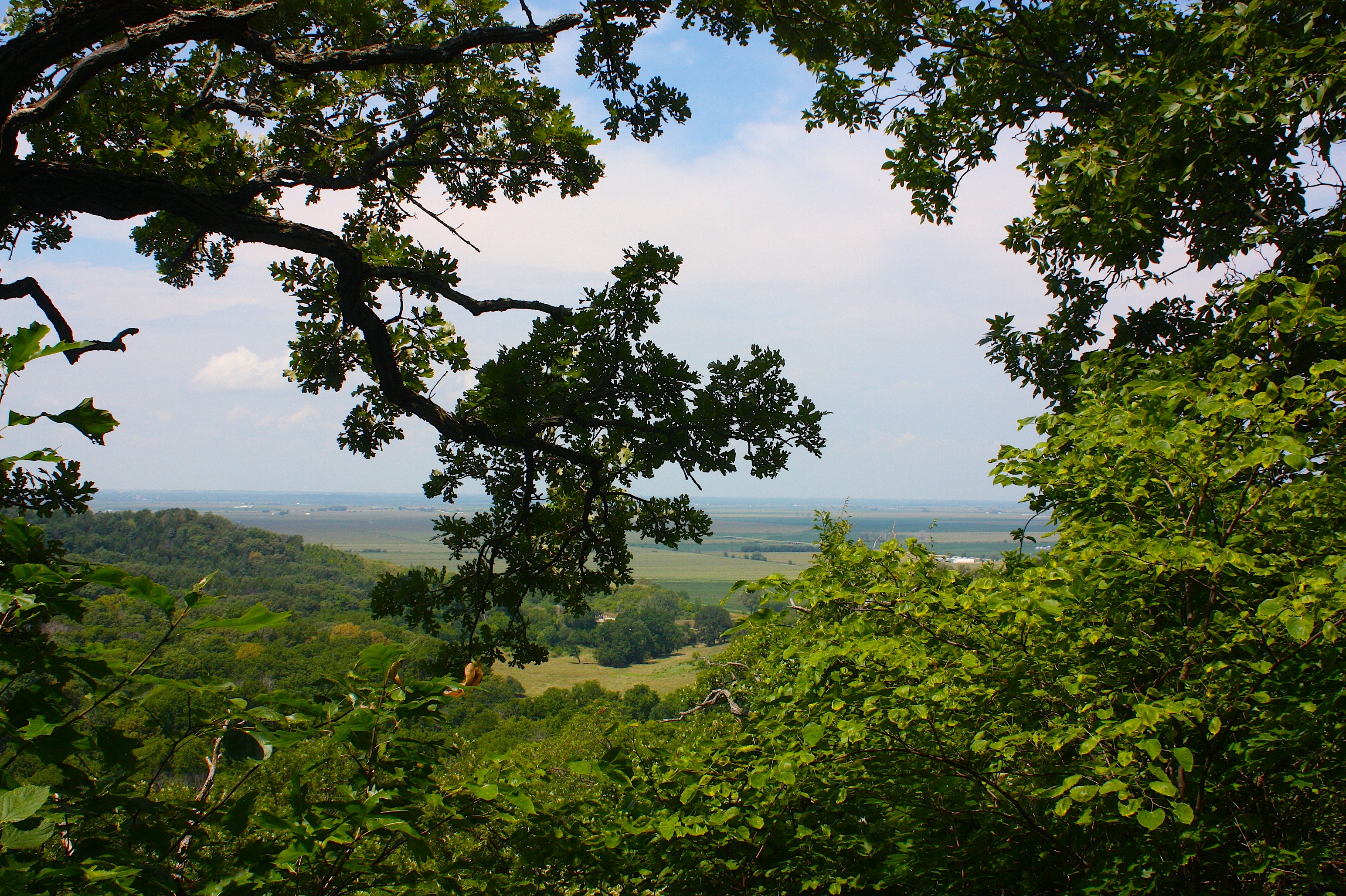
And then I found the sign leading to Waubonsie State Park, so I drove there and enjoyed a short but lovely hike (above).
Back on the main byway and heading toward Hamburg the road was closed AGAIN, with no detour sign. For crying out loud! At that point, I was at State Hwy. 2 that runs east-west across the state and I just said forget it. I got on Hwy. 2 and started driving. (Part of my exit was actually the Pleasant Overview Loop…but by then I was pretty much ready to just go home.)
I took Hwy. 2 to Hwy. 71 in Clarinda, drove north to Hwy. 30, and back to Ames.
I think if I were to do this drive again, I would do it in the fall. I would do more research on hiking trails – which ones take you up through the hills? Which ones offer spectacular overlooks? Which ones are easy enough for me to actually hike? And I would probably spend three days doing the drive instead of just two.
Also, if you go, bring water, bug spray, and picnic food. I was glad I had all three. Bring a good highway map and a detailed Loess Hills guidebook – you really need this. And fill up your tank with gas whenever you have a chance, because you can drive a long way between Casey’s.
